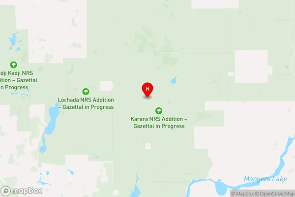
Morawa Suburbs & Region, Morawa Map & Postcodes
Morawa Suburbs & Region, Morawa Map & Postcodes in Morawa, Mid West, Western Australia Outback, WA, AU
Morawa Region
Region Name
Morawa (WA, AU)Morawa Area
23464 square kilometers (23,464 ㎢)Postal Codes
from 6513 to 6515, from 6517 to 6519, 6522, 6614, 6616, 6620, 6623, 6625, and 6627 (In total, there are 13 postcodes in Morawa.)Morawa Introduction
Morawa is a small town in the Pilbara region of Western Australia, located approximately 250 kilometers northeast of Perth. It is a mining town and the administrative center of the Morawa Shire. The town is known for its rich iron ore deposits, which have been mined since the late 19th century. Morawa is also home to the Morawa Railway Station, which is on the Western Australian Railways network. The town has a population of around 2,000 people and is surrounded by stunning natural beauty, including the Pilbara National Park and the Hamersley Range.Australia State
City or Big Region
Greater Capital City
Rest of WA (5RWAU)District or Regional Area
Suburb Name
Morawa Region Map

Morawa Postcodes / Zip Codes
Morawa Suburbs
Morawa full address
Morawa, Mid West, Western Australia Outback, Western Australia, WA, Australia, SaCode: 511041291Country
Morawa, Mid West, Western Australia Outback, Western Australia, WA, Australia, SaCode: 511041291
Morawa Suburbs & Region, Morawa Map & Postcodes has 0 areas or regions above, and there are 40 Morawa suburbs below. The sa2code for the Morawa region is 511041291. Its latitude and longitude coordinates are -29.1797,116.716. Morawa area belongs to Australia's greater capital city Rest of WA.
Morawa Suburbs & Localities
1. Gunyidi
2. Green Head
3. Leeman
4. Coorow
5. Eganu
6. Marchagee
7. Waddy Forest
8. Carnamah
9. Winchester
10. Eneabba
11. Warradarge
12. Arrino
13. Arrowsmith East
14. Dudawa
15. Kadathinni
16. Three Springs
17. Womarden
18. Bundanoon
19. Holmwood
20. Ikewa
21. Lockier
22. Mingenew
23. Mooriary
24. Mount Budd
25. Nangetty
26. Yandanooka
27. Yarragadee
28. Maya
29. Latham
30. Bunjil
31. Perenjori
32. Rothsay
33. Bowgada
34. Bunjil
35. Gutha
36. Koolanooka
37. Morawa
38. Pintharuka
39. Merkanooka
40. Canna
