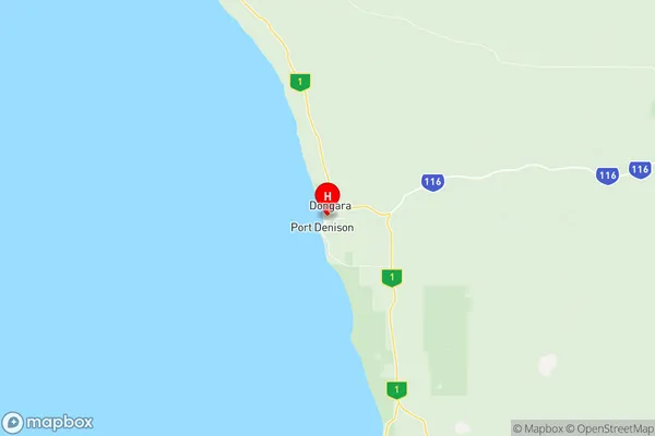
Irwin Suburbs & Region, Irwin Map & Postcodes
Irwin Suburbs & Region, Irwin Map & Postcodes in Irwin, Mid West, Western Australia Outback, WA, AU
Irwin Region
Region Name
Irwin (WA, AU)Irwin Area
2369 square kilometers (2,369 ㎢)Postal Codes
6525 (In total, there are 1 postcodes in Irwin.)Irwin Introduction
Irwin is a small town in the Shire of Northampton, Western Australia, 302 km northeast of Perth, the state capital. It is named after the pastoralist and politician Sir Charles Irwin. The town is located in the Mid West region and is a major gateway to the Outback. It is home to the Irwin River, which is a tributary of the Darling River. The town has a population of around 1,000 people and is a popular stopover for tourists traveling to the Outback. The town has a post office, a general store, a hotel, and a caravan park. The nearby Irwin River National Park is a popular destination for fishing, camping, and hiking.Australia State
City or Big Region
Greater Capital City
Rest of WA (5RWAU)District or Regional Area
Suburb Name
Irwin Region Map

Irwin Postcodes / Zip Codes
Irwin Suburbs
Irwin full address
Irwin, Mid West, Western Australia Outback, Western Australia, WA, Australia, SaCode: 511041289Country
Irwin, Mid West, Western Australia Outback, Western Australia, WA, Australia, SaCode: 511041289
Irwin Suburbs & Region, Irwin Map & Postcodes has 0 areas or regions above, and there are 12 Irwin suburbs below. The sa2code for the Irwin region is 511041289. Its latitude and longitude coordinates are -29.2644,114.928. Irwin area belongs to Australia's greater capital city Rest of WA.
Irwin Suburbs & Localities
1. Allanooka
2. Arrowsmith
3. Bookara
4. Irwin
5. Springfield
6. Bonniefield
7. Milo
8. Mount Horner
9. Port Denison
10. Yardarino
11. Dongara
12. Mount Adams
