Kalgoorlie North Suburbs & Region, Kalgoorlie North Map & Postcodes
Kalgoorlie North Suburbs & Region, Kalgoorlie North Map & Postcodes in Kalgoorlie North, Goldfields, Western Australia Outback, WA, AU
Kalgoorlie North Region
Region Name
Kalgoorlie North (WA, AU)Kalgoorlie North Area
31.07 square kilometers (31.07 ㎢)Postal Codes
6430, and 6433 (In total, there are 2 postcodes in Kalgoorlie North.)Kalgoorlie North Introduction
Kalgoorlie North is a suburb of the City of Kalgoorlie-Boulder in Western Australia, 662 kilometers east of Perth, the state capital. It is part of the Eastern Goldfields region. The suburb was named after the nearby Kalgoorlie mine. The population of Kalgoorlie North was 3,044 at the 2011 census. The suburb has a post office, a primary school, a police station, and a sports complex. The nearby Super Pit mine is the largest gold mine in the world. The suburb is also home to the Kalgoorlie-Boulder Convention Centre and the Kalgoorlie-Boulder Airport.Australia State
City or Big Region
Greater Capital City
Rest of WA (5RWAU)District or Regional Area
Suburb Name
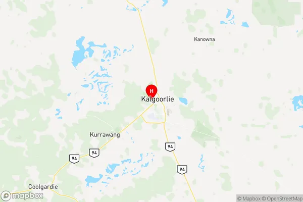
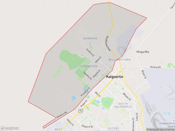
Kalgoorlie North Region Map

Kalgoorlie North Postcodes / Zip Codes
Kalgoorlie North Suburbs
Kalgoorlie North full address
Kalgoorlie North, Goldfields, Western Australia Outback, Western Australia, WA, Australia, SaCode: 511031280Country
Kalgoorlie North, Goldfields, Western Australia Outback, Western Australia, WA, Australia, SaCode: 511031280
Kalgoorlie North Suburbs & Region, Kalgoorlie North Map & Postcodes has 0 areas or regions above, and there are 7 Kalgoorlie North suburbs below. The sa2code for the Kalgoorlie North region is 511031280. Its latitude and longitude coordinates are -30.7511,121.457. Kalgoorlie North area belongs to Australia's greater capital city Rest of WA.
Kalgoorlie North Suburbs & Localities
1. Karlkurla
2. Hannans
3. Lamington
4. Piccadilly
5. Hannans Po
6. West Lamington
7. Hannans
