Kalgoorlie Suburbs & Region, Kalgoorlie Map & Postcodes
Kalgoorlie Suburbs & Region, Kalgoorlie Map & Postcodes in Kalgoorlie, Goldfields, Western Australia Outback, WA, AU
Kalgoorlie Region
Region Name
Kalgoorlie (WA, AU)Kalgoorlie Area
23.49 square kilometers (23.49 ㎢)Postal Codes
6430, and 6433 (In total, there are 2 postcodes in Kalgoorlie.)Kalgoorlie Introduction
Kalgoorlie is a city in Western Australia, located in the Eastern Goldfields region. It is known for its rich gold mining history and is the largest city in the region. The city is surrounded by stunning natural scenery, including the Super Pit mine and the Kalgoorlie-Boulder Botanical Garden. It is also home to the Kalgoorlie-Boulder Convention Centre and the Kalgoorlie-Superpit Museum.Australia State
City or Big Region
Greater Capital City
Rest of WA (5RWAU)District or Regional Area
Suburb Name
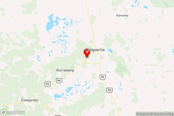
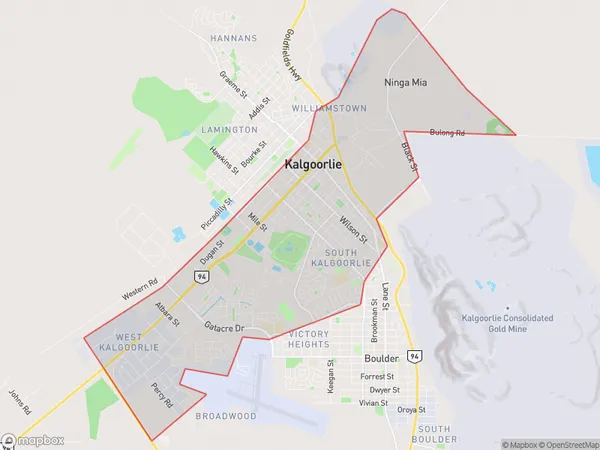
Kalgoorlie Region Map

Kalgoorlie Postcodes / Zip Codes
Kalgoorlie Suburbs
Kalgoorlie full address
Kalgoorlie, Goldfields, Western Australia Outback, Western Australia, WA, Australia, SaCode: 511031279Country
Kalgoorlie, Goldfields, Western Australia Outback, Western Australia, WA, Australia, SaCode: 511031279
Kalgoorlie Suburbs & Region, Kalgoorlie Map & Postcodes has 0 areas or regions above, and there are 8 Kalgoorlie suburbs below. The sa2code for the Kalgoorlie region is 511031279. Its latitude and longitude coordinates are -30.7801,121.434. Kalgoorlie area belongs to Australia's greater capital city Rest of WA.
Kalgoorlie Suburbs & Localities
1. South Kalgoorlie
2. Williamstown
3. Kalgoorlie Po
4. Somerville
5. Kalgoorlie
6. Kalgoorlie
7. West Kalgoorlie
8. Kalgoorlie Dc
