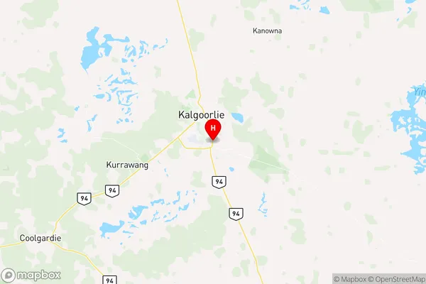
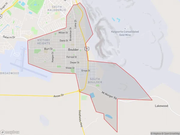
Boulder Suburbs & Region, Boulder Map & Postcodes
Boulder Suburbs & Region, Boulder Map & Postcodes in Boulder, Goldfields, Western Australia Outback, WA, AU
Boulder Region
Region Name
Boulder (WA, AU)Boulder Area
13.09 square kilometers (13.09 ㎢)Postal Codes
6432 (In total, there are 1 postcodes in Boulder.)Boulder Introduction
Boulder is a town in the Eastern Goldfields of Western Australia, 126 miles northeast of Perth, the state capital. It is a mining and agricultural town with a population of around 2,000 people. The town is named after the Boulder River, which flows through it, and was founded in 1895. The main industry in Boulder is gold mining, with several large mines operating in the area. The town also has a number of agricultural industries, including wheat farming and cattle ranching. Boulder is located in the Shire of Boulder, which is one of the largest shires in Western Australia. The shire is home to a number of historic sites, including the Boulder Courthouse, which was built in 1901. The town also has a number of recreational facilities, including a golf course, a swimming pool, and a sports stadium.Australia State
City or Big Region
Greater Capital City
Rest of WA (5RWAU)District or Regional Area
Suburb Name
Boulder Region Map

Boulder Postcodes / Zip Codes
Boulder Suburbs
Boulder full address
Boulder, Goldfields, Western Australia Outback, Western Australia, WA, Australia, SaCode: 511031278Country
Boulder, Goldfields, Western Australia Outback, Western Australia, WA, Australia, SaCode: 511031278
Boulder Suburbs & Region, Boulder Map & Postcodes has 0 areas or regions above, and there are 3 Boulder suburbs below. The sa2code for the Boulder region is 511031278. Its latitude and longitude coordinates are -30.7917,121.496. Boulder area belongs to Australia's greater capital city Rest of WA.
Boulder Suburbs & Localities
1. Boulder
2. South Boulder
3. Victory Heights
