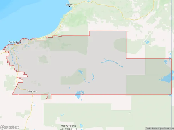
East Pilbara Suburbs & Region, East Pilbara Map & Postcodes
East Pilbara Suburbs & Region, East Pilbara Map & Postcodes in East Pilbara, Western Australia Outback (North), WA, AU
East Pilbara Region
Region Name
East Pilbara (WA, AU)East Pilbara Area
390712 square kilometers (390,712 ㎢)East Pilbara Introduction
East Pilbara is a region in Western Australia's north-east. It is located within the Pilbara region and is known for its rich mining industry, including iron ore and gold. The town of Port Hedland is the largest in the region and serves as a major port for exporting these resources. The area is also home to several national parks and conservation areas, including the Karijini National Park and the Pilbara National Park. The region has a hot, dry climate and is characterized by rugged landscapes and stunning sunsets.Australia State
City or Big Region
Greater Capital City
Rest of WA (5RWAU)District or Regional Area
East Pilbara Suburbs
East Pilbara full address
East Pilbara, Western Australia Outback (North), Western Australia, WA, Australia, SaCode: 51002Country
East Pilbara, Western Australia Outback (North), Western Australia, WA, Australia, SaCode: 51002
East Pilbara Suburbs & Region, East Pilbara Map & Postcodes has 1 areas or regions above, and there are 0 East Pilbara suburbs below. The sa3code for the East Pilbara region is 51002. East Pilbara area belongs to Australia's greater capital city Rest of WA.
