Roebuck Suburbs & Region, Roebuck Map & Postcodes
Roebuck Suburbs & Region, Roebuck Map & Postcodes in Roebuck, Kimberley, Western Australia Outback, WA, AU
Roebuck Region
Region Name
Roebuck (WA, AU)Roebuck Area
55344 square kilometers (55,344 ㎢)Postal Codes
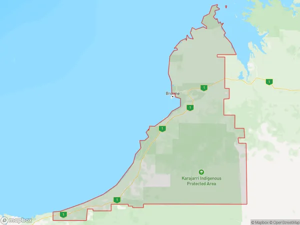
6725 (In total, there are 1 postcodes in Roebuck.)Roebuck Suburb Area Map (Polygon)
Roebuck Introduction
Roebuck is a small town in the Wheatbelt region of Western Australia, located approximately 250 kilometers northeast of Perth. It is the administrative center of the Shire of Roebuck, which has a population of around 1,000 people. The town is named after the Roebuck River, which flows through the area and provides water for agriculture. Roebuck is known for its historic stone buildings, including the Roebuck Hotel, which was built in 1892. The town also has a community hall, a post office, a general store, and a petrol station. The surrounding area is known for its agricultural productivity, with wheat, sheep, and cattle being the main crops. Roebuck is a popular stopover for travelers heading to the Outback, with the nearby Wadjuk National Park offering opportunities for hiking, camping, and wildlife viewing.Australia State
City or Big Region
Greater Capital City
Rest of WA (5RWAU)District or Regional Area
Suburb Name
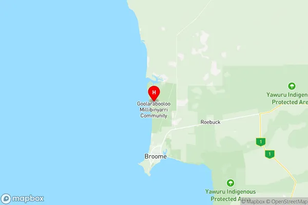
Roebuck Region Map
Roebuck Postcodes / Zip Codes
Roebuck Suburbs
Roebuck full address
Roebuck, Kimberley, Western Australia Outback, Western Australia, WA, Australia, SaCode: 510011266Country
Roebuck, Kimberley, Western Australia Outback, Western Australia, WA, Australia, SaCode: 510011266
Roebuck Suburbs & Region, Roebuck Map & Postcodes has 0 areas or regions above, and there are 6 Roebuck suburbs below. The sa2code for the Roebuck region is 510011266. Its latitude and longitude coordinates are -17.8194,122.22. Roebuck area belongs to Australia's greater capital city Rest of WA.
Roebuck Suburbs & Localities
1. Roebuck
2. Eighty Mile Beach
3. Lagrange
4. Waterbank
5. Dampier Peninsula
6. Gingerah