Kununurra Suburbs & Region, Kununurra Map & Postcodes
Kununurra Suburbs & Region, Kununurra Map & Postcodes in Kununurra, Kimberley, Western Australia Outback, WA, AU
Kununurra Region
Region Name
Kununurra (WA, AU)Kununurra Area
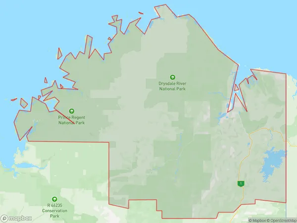
117707 square kilometers (117,707 ㎢)Postal Codes
6740, and 6743 (In total, there are 2 postcodes in Kununurra.)Kununurra Introduction
Kununurra is a small town in Western Australia's Kimberley region, located in the Shire of Wyndham-East Kimberley. It is known for its stunning natural beauty, including the Kununurra Waterfalls and the El Questro Wilderness Park. The town is also a popular base for exploring the nearby Bungle Bungles and the Gibb River Road. Kununurra is a gateway to the remote and rugged Kimberley region, with a rich cultural heritage and a diverse range of wildlife.Australia State
City or Big Region
Greater Capital City
Rest of WA (5RWAU)District or Regional Area
Suburb Name
Kununurra Region Map

Kununurra Postcodes / Zip Codes
Kununurra Suburbs
Kununurra full address
Kununurra, Kimberley, Western Australia Outback, Western Australia, WA, Australia, SaCode: 510011265Country
Kununurra, Kimberley, Western Australia Outback, Western Australia, WA, Australia, SaCode: 510011265
Kununurra Suburbs & Region, Kununurra Map & Postcodes has 0 areas or regions above, and there are 12 Kununurra suburbs below. The sa2code for the Kununurra region is 510011265. Its latitude and longitude coordinates are -14.7696,126.774. Kununurra area belongs to Australia's greater capital city Rest of WA.
Kununurra Suburbs & Localities
1. Kalumburu
2. Mitchell Plateau
3. Cambridge Gulf
4. Durack
5. Kununurra
6. Wijilawarrim
7. Oombulgurri
8. Drysdale River
9. Prince Regent River
10. Wyndham
11. Lake Argyle
12. Gibb
