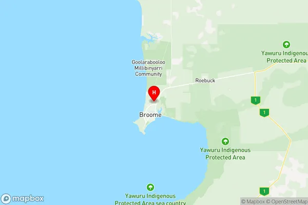
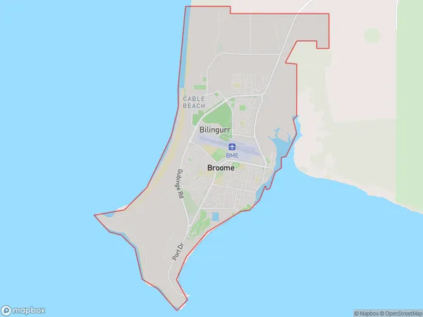
Broome Suburbs & Region, Broome Map & Postcodes
Broome Suburbs & Region, Broome Map & Postcodes in Broome, Kimberley, Western Australia Outback, WA, AU
Broome Region
Region Name
Broome (WA, AU)Broome Area
50.04 square kilometers (50.04 ㎢)Postal Codes
6725, and 6726 (In total, there are 2 postcodes in Broome.)Broome Introduction
Broome is a pearling town and the gateway to the Kimberley region in Western Australia. It is known for its beautiful beaches, vibrant culture, and historic pearling industry. The town is located on the Indian Ocean coast and is surrounded by stunning natural landscapes, including the Broome Sand Dunes and the Purnululu National Park. Visitors can explore the town's museums, galleries, and markets, as well as participate in various outdoor activities such as snorkeling, hiking, and fishing. Broome is also a popular destination for camel rides and sunset cruises.Australia State
City or Big Region
Greater Capital City
Rest of WA (5RWAU)District or Regional Area
Suburb Name
Broome Region Map

Broome Postcodes / Zip Codes
Broome Suburbs
Broome full address
Broome, Kimberley, Western Australia Outback, Western Australia, WA, Australia, SaCode: 510011262Country
Broome, Kimberley, Western Australia Outback, Western Australia, WA, Australia, SaCode: 510011262
Broome Suburbs & Region, Broome Map & Postcodes has 0 areas or regions above, and there are 5 Broome suburbs below. The sa2code for the Broome region is 510011262. Its latitude and longitude coordinates are -17.9255,122.234. Broome area belongs to Australia's greater capital city Rest of WA.
Broome Suburbs & Localities
1. Cable Beach
2. Bilingurr
3. Minyirr
4. Broome
5. Djugun
