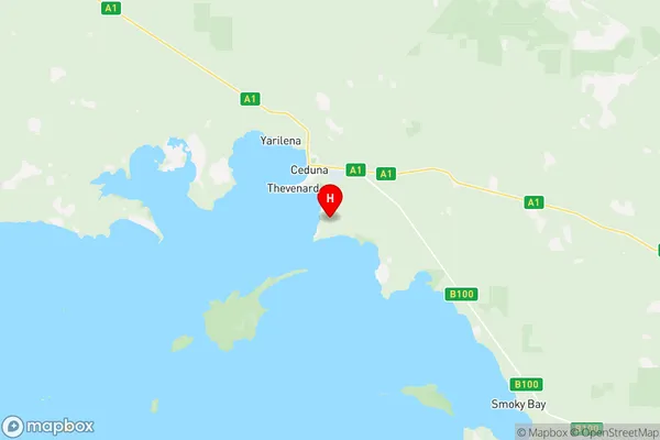
Ceduna Suburbs & Region, Ceduna Map & Postcodes
Ceduna Suburbs & Region, Ceduna Map & Postcodes in Ceduna, Eyre Peninsula and South West, South Australia Outback, SA, AU
Ceduna Region
Region Name
Ceduna (SA, AU)Ceduna Area
413.34 square kilometers (413.34 ㎢)Postal Codes
5690 (In total, there are 1 postcodes in Ceduna.)Ceduna Introduction
Ceduna is a coastal town in South Australia's Far North region. It is located on the Eyre Peninsula and is the administrative center of the Ceduna Shire. The town is known for its fishing industry, with a port that handles a significant portion of Australia's seafood exports. Ceduna is also a popular tourist destination, with attractions such as the Ceduna Blowholes, the Iron Blowholes, and the Ceduna Conservation Park. The town has a population of around 2,000 people and is located approximately 1,000 kilometers north of Adelaide.Australia State
City or Big Region
Greater Capital City
Rest of SA (4RSAU)District or Regional Area
Suburb Name
Ceduna Region Map

Ceduna Postcodes / Zip Codes
Ceduna Suburbs
Ceduna full address
Ceduna, Eyre Peninsula and South West, South Australia Outback, South Australia, SA, Australia, SaCode: 406011129Country
Ceduna, Eyre Peninsula and South West, South Australia Outback, South Australia, SA, Australia, SaCode: 406011129
Ceduna Suburbs & Region, Ceduna Map & Postcodes has 0 areas or regions above, and there are 3 Ceduna suburbs below. The sa2code for the Ceduna region is 406011129. Its latitude and longitude coordinates are -32.1793,133.7. Ceduna area belongs to Australia's greater capital city Rest of SA.
Ceduna Suburbs & Localities
1. Ceduna
2. Ceduna Waters
3. Thevenard
