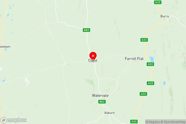
Clare Suburbs & Region, Clare Map & Postcodes
Clare Suburbs & Region, Clare Map & Postcodes in Clare, Lower North, Barossa Yorke Mid North, SA, AU
Clare Region
Region Name
Clare (SA, AU)Clare Area
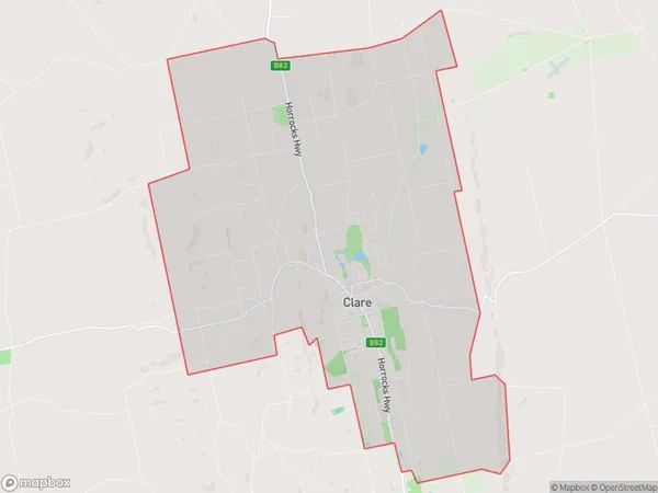
74.2 square kilometers (74.2 ㎢)Postal Codes
5453 (In total, there are 1 postcodes in Clare.)Clare Introduction
Clare is a town in the Barossa Valley, South Australia, 35 kilometers southeast of Adelaide. It is the administrative center of the Clare and Gilbert Valleys Council. The town was founded in 1852 and named after Clare, County Clare, Ireland. It is known for its wine production, with many wineries and cellar doors in the surrounding area. Clare has a population of around 2,000 people and is home to several historic buildings, including the Clare Hotel and the Old Clare Cheese Factory. The town also has a golf course, a swimming pool, and a variety of shops and cafes.Australia State
City or Big Region
Greater Capital City
Rest of SA (4RSAU)District or Regional Area
Suburb Name
Clare Region Map

Clare Postcodes / Zip Codes
Clare Suburbs
Clare full address
Clare, Lower North, Barossa Yorke Mid North, South Australia, SA, Australia, SaCode: 405021116Country
Clare, Lower North, Barossa Yorke Mid North, South Australia, SA, Australia, SaCode: 405021116
Clare Suburbs & Region, Clare Map & Postcodes has 0 areas or regions above, and there are 4 Clare suburbs below. The sa2code for the Clare region is 405021116. Its latitude and longitude coordinates are -33.8398,138.613. Clare area belongs to Australia's greater capital city Rest of SA.
Clare Suburbs & Localities
1. Armagh
2. Spring Farm
3. Stanley Flat
4. Clare
