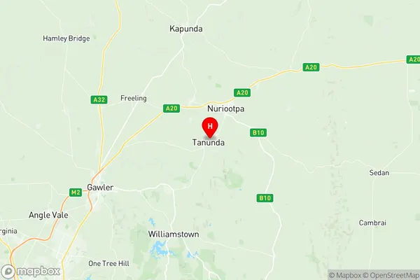
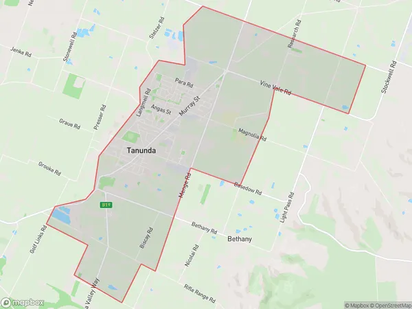
Tanunda Suburbs & Region, Tanunda Map & Postcodes
Tanunda Suburbs & Region, Tanunda Map & Postcodes in Tanunda, Barossa, Barossa Yorke Mid North, SA, AU
Tanunda Region
Region Name
Tanunda (SA, AU)Tanunda Area
17.33 square kilometers (17.33 ㎢)Tanunda Introduction
Tanunda is a town in the Barossa Valley of South Australia. It is located 55 kilometers southeast of Adelaide and 35 kilometers northeast of the state capital, Adelaide. The town is known for its wine production and is home to several wineries, including Penfolds, Chateau Tanunda, and Jacob's Creek. The town has a population of around 5,000 people and is surrounded by beautiful vineyards and rolling hills. The town also has a historic railway station and a number of heritage-listed buildings.Australia State
City or Big Region
Greater Capital City
Rest of SA (4RSAU)District or Regional Area
Suburb Name
Tanunda Region Map

Tanunda Suburbs
Tanunda full address
Tanunda, Barossa, Barossa Yorke Mid North, South Australia, SA, Australia, SaCode: 405011115Country
Tanunda, Barossa, Barossa Yorke Mid North, South Australia, SA, Australia, SaCode: 405011115
Tanunda Suburbs & Region, Tanunda Map & Postcodes has 0 areas or regions above, and there are 0 Tanunda suburbs below. The sa2code for the Tanunda region is 405011115. Its latitude and longitude coordinates are -34.5201,138.963. Tanunda area belongs to Australia's greater capital city Rest of SA.
