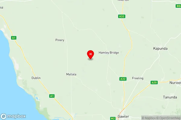
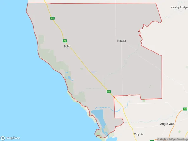
Mallala Suburbs & Region, Mallala Map & Postcodes
Mallala Suburbs & Region, Mallala Map & Postcodes in Mallala, Lower North, Barossa Yorke Mid North, SA, AU
Mallala Region
Region Name
Mallala (SA, AU)Mallala Area
847.87 square kilometers (847.87 ㎢)Postal Codes
5460, 5501, and 5502 (In total, there are 3 postcodes in Mallala.)Mallala Introduction
Mallala is a locality in the Barossa Valley of South Australia. It is situated approximately 50 kilometers northeast of Adelaide and 30 kilometers southwest of Tanunda. The town is named after the Mallala Creek, which flows through it. Mallala was established in the 1840s and was originally a farming community. It became a popular tourist destination in the 1920s, with many visitors coming to enjoy the area's wine and scenery. Today, Mallala is a thriving community with a population of around 3,000 people. It is home to several wineries, restaurants, and hotels, as well as a variety of shops and businesses. The town also has a community center, a swimming pool, and a golf course.Australia State
City or Big Region
Greater Capital City
Rest of SA (4RSAU)District or Regional Area
Suburb Name
Mallala Region Map

Mallala Postcodes / Zip Codes
Mallala Suburbs
Mallala full address
Mallala, Lower North, Barossa Yorke Mid North, South Australia, SA, Australia, SaCode: 405011113Country
Mallala, Lower North, Barossa Yorke Mid North, South Australia, SA, Australia, SaCode: 405011113
Mallala Suburbs & Region, Mallala Map & Postcodes has 0 areas or regions above, and there are 17 Mallala suburbs below. The sa2code for the Mallala region is 405011113. Its latitude and longitude coordinates are -34.3837,138.598. Mallala area belongs to Australia's greater capital city Rest of SA.
Mallala Suburbs & Localities
1. Barabba
2. Calomba
3. Reeves Plains
4. Long Plains
5. Parham
6. Mallala
7. Lower Light
8. Webb Beach
9. Windsor
10. Fischer
11. Dublin
12. Middle Beach
13. Port Gawler
14. Thompson Beach
15. Grace Plains
16. Korunye
17. Redbanks
