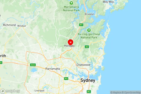
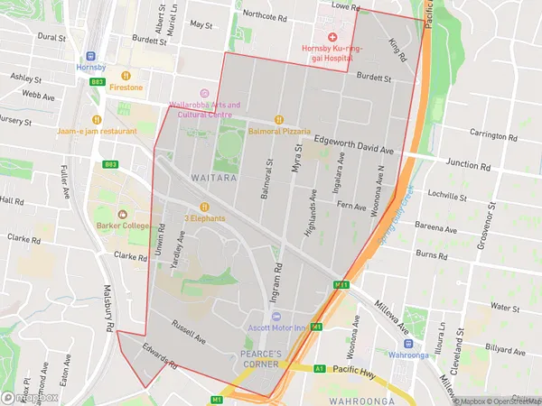
Waitara Wahroonga (West) Suburbs & Region, Waitara Wahroonga (West) Map & Postcodes
Waitara Wahroonga (West) Suburbs & Region, Waitara Wahroonga (West) Map & Postcodes in Waitara Wahroonga (West), Hornsby, Sydney North Sydney and Hornsby, NSW, AU
Waitara Wahroonga (West) Region
Region Name
Waitara Wahroonga (West) (NSW, AU)Waitara Wahroonga (West) Area
2.11 square kilometers (2.11 ㎢)Waitara Wahroonga (West) Introduction
Waitara Wahroonga (West), Sydney North Sydney and Hornsby is a suburb located in the Upper North Shore of Sydney, in the state of New South Wales, Australia. It is situated 18 kilometers north-west of the Sydney central business district and is part of the Macarthur region. The suburb is named after the Waitara River, which flows through it. Waitara Wahroonga (West) is a diverse suburb with a mix of residential, commercial, and industrial areas. It is home to a number of parks, including Waitara Park and Werrington Park, as well as the Waitara Aquatic Centre. The suburb is also known for its high population density, with many apartment buildings and townhouses. The area has a rich history, with the first European settlement in the area dating back to the 1820s. The suburb was originally known as West Waitara and was renamed Waitara Wahroonga (West) in the 1920s. Today, Waitara Wahroonga (West) is a popular suburb with a vibrant community. It is well-connected to other parts of Sydney, with easy access to the Sydney motorway and public transportation. The suburb is home to a number of schools, including Waitara Public School and St John's College, as well as a number of shopping centers and restaurants.Australia State
City or Big Region
Greater Capital City
Greater Sydney (1GSYD)District or Regional Area
Suburb Name
Waitara Wahroonga (West) Region Map

Waitara Wahroonga (West) Suburbs
Waitara Wahroonga (West) full address
Waitara Wahroonga (West), Hornsby, Sydney North Sydney and Hornsby, New South Wales, NSW, Australia, SaCode: 121021579Country
Waitara Wahroonga (West), Hornsby, Sydney North Sydney and Hornsby, New South Wales, NSW, Australia, SaCode: 121021579
Waitara Wahroonga (West) Suburbs & Region, Waitara Wahroonga (West) Map & Postcodes has 0 areas or regions above, and there are 0 Waitara Wahroonga (West) suburbs below. The sa2code for the Waitara Wahroonga (West) region is 121021579. Its latitude and longitude coordinates are -33.7083,151.107. Waitara Wahroonga (West) area belongs to Australia's greater capital city Greater Sydney.
