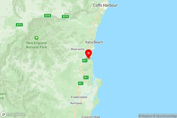
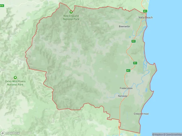
Kempsey Nambucca Suburbs & Region, Kempsey Nambucca Map & Postcodes
Kempsey Nambucca Suburbs & Region, Kempsey Nambucca Map & Postcodes in Kempsey Nambucca, Mid North Coast, NSW, AU
Kempsey Nambucca Region
Region Name
Kempsey Nambucca (NSW, AU)Kempsey Nambucca Area
5339 square kilometers (5,339 ㎢)Postal Codes
2431, and from 2447 to 2449 (In total, there are 4 postcodes in Kempsey Nambucca.)Kempsey Nambucca Introduction
Kempsey Nambucca is a locality in the Mid North Coast region of New South Wales, Australia. It is located in the Kempsey Shire local government area and is part of the Macleay Valley region. The town is situated on the Nambucca River and is approximately 250 kilometers north of Sydney. The population of Kempsey Nambucca at the 2016 census was 11,949. The town is known for its agricultural industry, with the production of cotton, sugar cane, and macadamia nuts being major contributors to the local economy. The town also has a number of tourist attractions, including the Nambucca Heads Lighthouse, the Nambucca Riverwalk, and the Nambucca Valley Zoo.Australia State
City or Big Region
District or Regional Area
Kempsey Nambucca Region Map

Kempsey Nambucca Postcodes / Zip Codes
Kempsey Nambucca Suburbs
Macksville Scotts Head
Nambucca Heads Region
Kempsey Nambucca full address
Kempsey Nambucca, Mid North Coast, New South Wales, NSW, Australia, SaCode: 10802Country
Kempsey Nambucca, Mid North Coast, New South Wales, NSW, Australia, SaCode: 10802
Kempsey Nambucca Suburbs & Region, Kempsey Nambucca Map & Postcodes has 4 areas or regions above, and there are 36 Kempsey Nambucca suburbs below. The sa3code for the Kempsey Nambucca region is 10802. Its latitude and longitude coordinates are -30.7274,152.956.
Kempsey Nambucca Suburbs & Localities
1. Congarinni
2. Congarinni North
3. Thumb Creek
4. Upper Taylors Arm
5. Hyland Park
6. Valla Beach
7. Bowraville
8. Arakoon
9. South West Rocks
10. Bakers Creek
11. Burrapine
12. Donnellyville
13. Scotts Head
14. Way Way
15. Valla
16. Macksville
17. Newee Creek
18. Taylors Arm
19. Warrell Creek
20. Wirrimbi
21. Yarranbella
22. Nambucca Heads
23. Kennaicle Creek
24. Killiekrankie
25. Jerseyville
26. Gumma
27. North Macksville
28. Talarm
29. Utungun
30. Viewmont
31. Argents Hill
32. Buckra Bendinni
33. Girralong
34. South Arm
35. Tewinga
36. Missabotti
