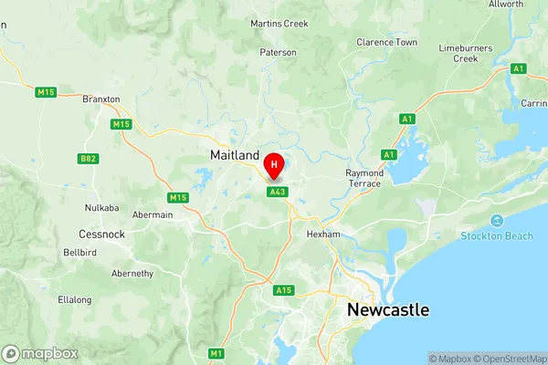
Maitland East Suburbs & Region, Maitland East Map & Postcodes
Maitland East Suburbs & Region, Maitland East Map & Postcodes in Maitland East, Lake Macquarie West, Newcastle and Lake Macquarie, NSW, AU
Maitland East Region
Region Name
Maitland East (NSW, AU)Postal Codes
2321, and 2323 (In total, there are 2 postcodes in Maitland East.)Maitland East Introduction
Maitland East is a suburb of Newcastle, New South Wales, Australia. It is located in the City of Newcastle local government area and is part of the Hunter Region. The suburb is named after the Maitland River, which flows through it. Maitland East is a popular residential area with a mix of houses, apartments, and townhouses. It is close to the city center, with easy access to public transportation and a variety of shops and restaurants. The suburb also has several parks and recreational facilities, including the Maitland Regional Sports Complex and the Maitland Showground.Australia State
City or Big Region
District or Regional Area
Suburb Name
Maitland East Region Map

Maitland East Postcodes / Zip Codes
Maitland East Suburbs
Maitland East full address
Maitland East, Lake Macquarie West, Newcastle and Lake Macquarie, New South Wales, NSW, Australia, SaCode: 106021115Country
Maitland East, Lake Macquarie West, Newcastle and Lake Macquarie, New South Wales, NSW, Australia, SaCode: 106021115
Maitland East Suburbs & Region, Maitland East Map & Postcodes has 0 areas or regions above, and there are 10 Maitland East suburbs below. The sa2code for the Maitland East region is 106021115. Its latitude and longitude coordinates are -32.7664,151.61.
Maitland East Suburbs & Localities
1. Morpeth
2. Metford
3. Metford Dc
4. Raworth
5. East Maitland
6. Ashtonfield
7. Greenhills
8. Pitnacree
9. Tenambit
10. Green Hills
