Tuggerah Kangy Angy Suburbs & Region, Tuggerah Kangy Angy Map & Postcodes
Tuggerah Kangy Angy Suburbs & Region, Tuggerah Kangy Angy Map & Postcodes in Tuggerah Kangy Angy, Lake Macquarie West, Newcastle and Lake Macquarie, NSW, AU
Tuggerah Kangy Angy Region
Region Name
Tuggerah Kangy Angy (NSW, AU)Tuggerah Kangy Angy Area
27.85 square kilometers (27.85 ㎢)Postal Codes
2258, and 2259 (In total, there are 2 postcodes in Tuggerah Kangy Angy.)Tuggerah Kangy Angy Introduction
Tuggerah is a suburb on the Central Coast of New South Wales, Australia. It is part of the City of Lake Macquarie local government area. Tuggerah is located 68 kilometers (42 mi) north of Sydney and 11 kilometers (7 mi) south of Newcastle. The suburb has a population of around 25,000 people. Tuggerah is known for its beautiful beaches, including Tuggerah Beach, which is a popular spot for swimming, surfing, and fishing. The suburb also has a number of parks and recreational facilities, including the Tuggerah Lakes Golf Club and the Tuggerah Lakes Community Centre. Tuggerah is home to a number of major businesses, including the Bunnings Warehouse and the Westfield Tuggerah shopping centre. The suburb is also a major transport hub, with the Tuggerah railway station providing services to Sydney and Newcastle. Tuggerah is a vibrant and diverse suburb with something for everyone. Whether you are looking for a relaxing beach holiday or a busy shopping experience, Tuggerah has it all.Australia State
City or Big Region
Greater Capital City
Greater Sydney (1GSYD)District or Regional Area
Suburb Name
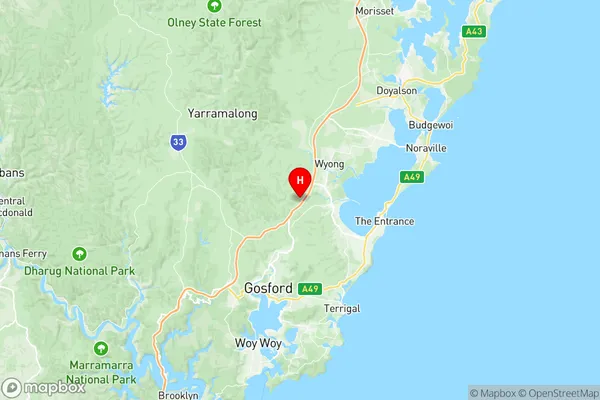
Tuggerah Kangy Angy Region Map

Tuggerah Kangy Angy Postcodes / Zip Codes
Tuggerah Kangy Angy Suburbs
Tuggerah Kangy Angy full address
Tuggerah Kangy Angy, Lake Macquarie West, Newcastle and Lake Macquarie, New South Wales, NSW, Australia, SaCode: 102021055Country
Tuggerah Kangy Angy, Lake Macquarie West, Newcastle and Lake Macquarie, New South Wales, NSW, Australia, SaCode: 102021055
Tuggerah Kangy Angy Suburbs & Region, Tuggerah Kangy Angy Map & Postcodes has 0 areas or regions above, and there are 5 Tuggerah Kangy Angy suburbs below. The sa2code for the Tuggerah Kangy Angy region is 102021055. Its latitude and longitude coordinates are -33.324,151.385. Tuggerah Kangy Angy area belongs to Australia's greater capital city Greater Sydney.
Tuggerah Kangy Angy Suburbs & Localities
1. Mardi
2. Tacoma South
3. Tuggerah
4. Kangy Angy
5. South Tacoma
