ZipCode 6612 Areas, AU PostCode 6612 Suburbs
Postcode 6612 Suburbs, ZipCode 6612 Areas & Regions in Wheat Belt - North,WA Australia
There are at least 4 AU suburbs share the same AU PostCode 6612 Suburbs in Wheat Belt - North, Mid West.
Postal Code 6612 Regions
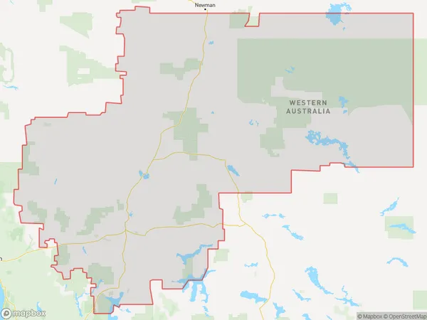
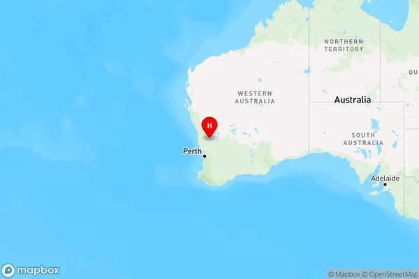
The Australia postcode 6612 regions include Moora, Meekatharra in the areas of Wheat Belt - North, Mid West, Moora, These postcode areas are all located in the state Western Australia, WA.
ZipCode 6612 Areas Map for Moora

AU PostCode 6612 Suburbs Map for Meekatharra
AU PostCode 6612 Suburbs
AU PostCode 6612 suburbs contain Miamoon, Jibberding, Paynes Find, Wubin, you can check the below link to see the 4 suburbs detailed information.
AU PostCode 6612 Suburbs Map
ZipCode 6612 Areas
1. Miamoon
2. Jibberding
3. Paynes Find
4. Wubin