Paynes Find Area, Paynes Find Postcode(6612) & Map in Paynes Find, Western Australia - Outback (South), WA
Paynes Find Area, Paynes Find Postcode(6612) & Map in Paynes Find, Western Australia - Outback (South), WA, AU, Postcode: 6612
Paynes Find, Meekatharra, Mid West, Western Australia - Outback (South), Western Australia, Australia, 6612
Paynes Find Postcode
Area Name
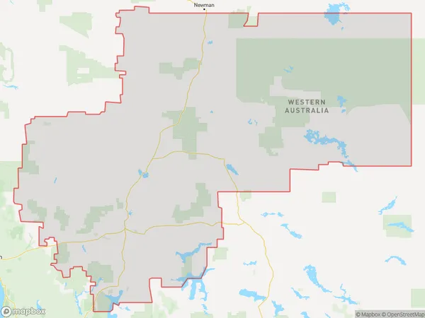
Paynes FindPaynes Find Suburb Area Map (Polygon)
Paynes Find Introduction
Paynes Find is a small town in Western Australia's Outback (South) region, located 62 km north of Kalgoorlie. It is known for its gold mining history and is a popular destination for tourists seeking a glimpse into the region's mining heritage. The town has a population of around 1,000 people and offers a range of accommodation options, including hotels, motels, and camping grounds. Visitors can explore the town's historic buildings, including the Goldfields Hotel and the Old Police Station, and take part in various outdoor activities, such as hiking, camping, and four-wheel driving.State Name
City or Big Region
District or Regional Area
Suburb Name
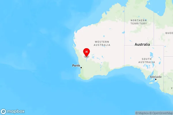
Paynes Find Region Map
Country
Main Region in AU
R3Coordinates
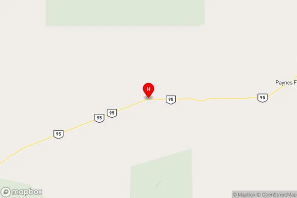
-29.283289,117.4921297 (latitude/longitude)Paynes Find Area Map (Street)
Longitude
117.835179Latitude
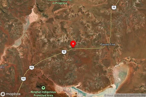
-29.545139Paynes Find Suburb Map (Satellite)
Distances
The distance from Paynes Find, Western Australia - Outback (South), WA to AU Greater Capital CitiesSA1 Code 2011
50805121507SA1 Code 2016
51104129006SA2 Code
511041290SA3 Code
51104SA4 Code
511RA 2011
5RA 2016
5MMM 2015
7MMM 2019
7Charge Zone
W2LGA Region
Mount MarshallLGA Code
55880Electorate
Durack