ZipCode 6507 Areas, AU PostCode 6507 Suburbs
Postcode 6507 Suburbs, ZipCode 6507 Areas & Regions in Wheat Belt - North,WA Australia
There are at least 6 AU suburbs share the same AU PostCode 6507 Suburbs in Wheat Belt - North.
Postal Code 6507 Regions
The Australia postcode 6507 regions include Gingin - Dandaragan in the areas of Wheat Belt - North, Gingin - Dandaragan, These postcode areas are all located in the state Western Australia, WA.Australia postcode 6507 is located in the state of Western Australia, in the city of Albany. It covers an area of approximately 12.8 square kilometers and has a population of approximately 11,000 people. The postcode is known for its scenic beauty, with many beaches, parks, and forests nearby. It is also home to several tourist attractions, including the National Anzac Centre, the Albany Wind Farm, and the Mount Clarence National Park.
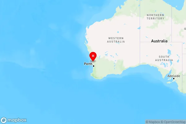
ZipCode 6507 Areas Map for Gingin - Dandaragan

AU PostCode 6507 Suburbs
AU PostCode 6507 suburbs contain Regans Ford, Cataby, Dandaragan, Yathroo, Cooljarloo, Mimegarra, you can check the below link to see the 6 suburbs detailed information.
AU PostCode 6507 Suburbs Map
ZipCode 6507 Areas
1. Regans Ford
2. Cataby
3. Dandaragan
4. Yathroo
5. Cooljarloo
6. Mimegarra