ZipCode 6503 Areas, AU PostCode 6503 Suburbs
Postcode 6503 Suburbs, ZipCode 6503 Areas & Regions in Wheat Belt - North,WA Australia
There are at least 20 AU suburbs share the same AU PostCode 6503 Suburbs in Wheat Belt - North.
Postal Code 6503 Regions
The Australia postcode 6503 regions include Gingin - Dandaragan in the areas of Wheat Belt - North, Gingin - Dandaragan, These postcode areas are all located in the state Western Australia, WA.
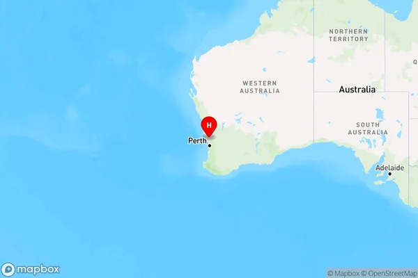
ZipCode 6503 Areas Map for Gingin - Dandaragan

AU PostCode 6503 Suburbs
AU PostCode 6503 suburbs contain Beermullah, Cullalla, Gingin, Granville, Orange Springs, Red Gully, Wanerie, Boonanarring, Coonabidgee, Cowalla, Neergabby, Ginginup, Mindarra, Moondah, Yeal, Bambun, Breera, Lennard Brook, Moore River National Park, Muckenburra, you can check the below link to see the 20 suburbs detailed information.
AU PostCode 6503 Suburbs Map
ZipCode 6503 Areas
1. Beermullah
2. Cullalla
3. Gingin
4. Granville
5. Orange Springs
6. Red Gully
7. Wanerie
8. Boonanarring
9. Coonabidgee
10. Cowalla
11. Neergabby
12. Ginginup
13. Mindarra
14. Moondah
15. Yeal
16. Bambun
17. Breera
18. Lennard Brook
19. Moore River National Park
20. Muckenburra