Lyndhurst Area, Lyndhurst Postcode(5731) & Map in Lyndhurst, South Australia - Outback, SA
Lyndhurst Area, Lyndhurst Postcode(5731) & Map in Lyndhurst, South Australia - Outback, SA, AU, Postcode: 5731
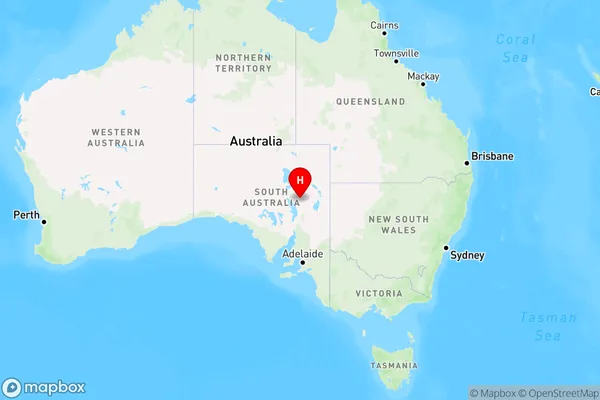
Lyndhurst, Outback, Outback - North and East, South Australia - Outback, South Australia, Australia, 5731
Lyndhurst Postcode
Area Name
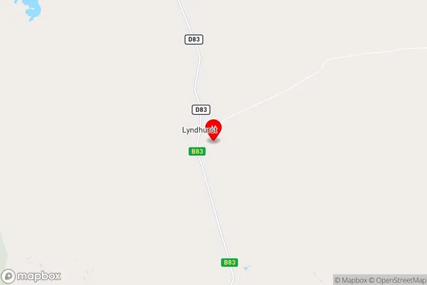
LyndhurstLyndhurst Suburb Area Map (Polygon)

Lyndhurst Introduction
Lyndhurst is a small town in South Australia, located in the Outback region. It is known for its rich history and natural beauty, including the Lyndhurst Station and the Flinders Ranges. The town is a popular destination for tourists and outdoor enthusiasts, offering a range of activities such as hiking, camping, and wildlife watching.State Name
City or Big Region
District or Regional Area
Suburb Name
Lyndhurst Region Map
Country
Main Region in AU
R3Coordinates
-30.2985747,138.3624669 (latitude/longitude)Lyndhurst Area Map (Street)
Longitude
139.666239Latitude
-29.818331Lyndhurst Elevation
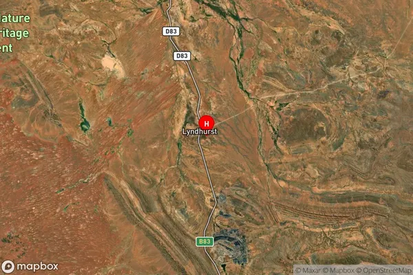
about 26.16 meters height above sea level (Altitude)Lyndhurst Suburb Map (Satellite)
Distances
The distance from Lyndhurst, South Australia - Outback, SA to AU Greater Capital CitiesSA1 Code 2011
40602114107SA1 Code 2016
40602114107SA2 Code
406021141SA3 Code
40602SA4 Code
406RA 2011
5RA 2016
5MMM 2015
7MMM 2019
7Charge Zone
S2LGA Region
Roxby DownsLGA Code
46970Electorate
Grey