Leigh Creek Area, Leigh Creek Postcode(5731) & Map in Leigh Creek, South Australia - Outback, SA
Leigh Creek Area, Leigh Creek Postcode(5731) & Map in Leigh Creek, South Australia - Outback, SA, AU, Postcode: 5731
Leigh Creek, Outback, Outback - North and East, South Australia - Outback, South Australia, Australia, 5731
Leigh Creek Postcode
Area Name
Leigh CreekLeigh Creek Suburb Area Map (Polygon)

Leigh Creek Introduction
Leigh Creek is a small town in South Australia's Outback region, known for its coal mining and energy production. It is located approximately 500 kilometers north of Adelaide and has a population of around 1,000 people. The town is home to several coal mines, including the Leigh Creek Coal Mine, which is one of the largest in the world. Leigh Creek is also a popular destination for tourists, with many attractions including the Leigh Creek Railway, the Flinders Ranges, and the Outback Highway.State Name
City or Big Region
District or Regional Area
Suburb Name
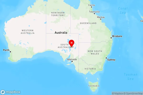
Leigh Creek Region Map
Country
Main Region in AU
R3Coordinates
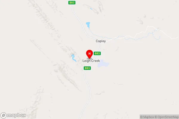
-30.5908141,138.3992865 (latitude/longitude)Leigh Creek Area Map (Street)
Longitude
139.666239Latitude
-29.818331Leigh Creek Elevation
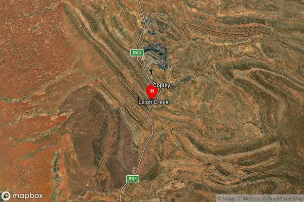
about 26.16 meters height above sea level (Altitude)Leigh Creek Suburb Map (Satellite)
Distances
The distance from Leigh Creek, South Australia - Outback, SA to AU Greater Capital CitiesSA1 Code 2011
40602114105SA1 Code 2016
40602114105SA2 Code
406021141SA3 Code
40602SA4 Code
406RA 2011
5RA 2016
5MMM 2015
7MMM 2019
7Charge Zone
S2LGA Region
Roxby DownsLGA Code
46970Electorate
Grey