Coober Pedy Area, Coober Pedy Postcode(5723) & Map in Coober Pedy, South Australia - Outback, SA
Coober Pedy Area, Coober Pedy Postcode(5723) & Map in Coober Pedy, South Australia - Outback, SA, AU, Postcode: 5723
Coober Pedy, Coober Pedy, Outback - North and East, South Australia - Outback, South Australia, Australia, 5723
Coober Pedy Postcode
Area Name
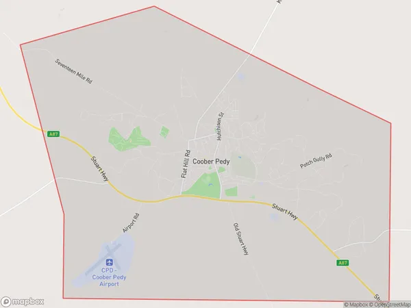
Coober PedyCoober Pedy Suburb Area Map (Polygon)
Coober Pedy Introduction
Coober Pedy is a remote mining town in South Australia known for its opal mining and underground homes. It is also the driest town in Australia, with an average annual rainfall of just 250 mm. The town is home to a number of unique attractions, including the Old Timers Mine Museum, the Underground Church, and the Coober Pedy Opal Mine.State Name
City or Big Region
District or Regional Area
Suburb Name
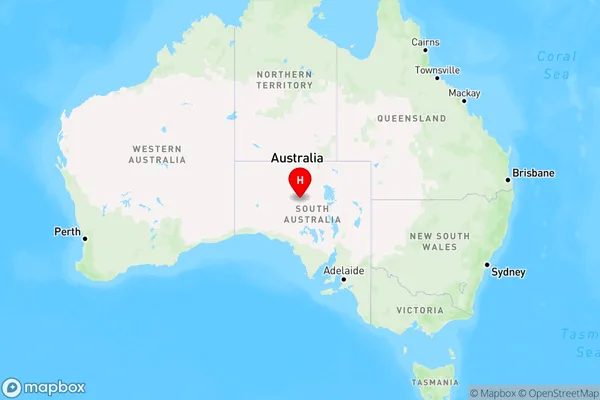
Coober Pedy Region Map
Country
Main Region in AU
R3Coordinates
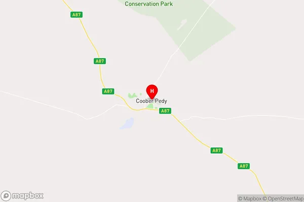
-29.0135316,134.7544147 (latitude/longitude)Coober Pedy Area Map (Street)
Longitude
135.088086Latitude
-28.500406Coober Pedy Elevation
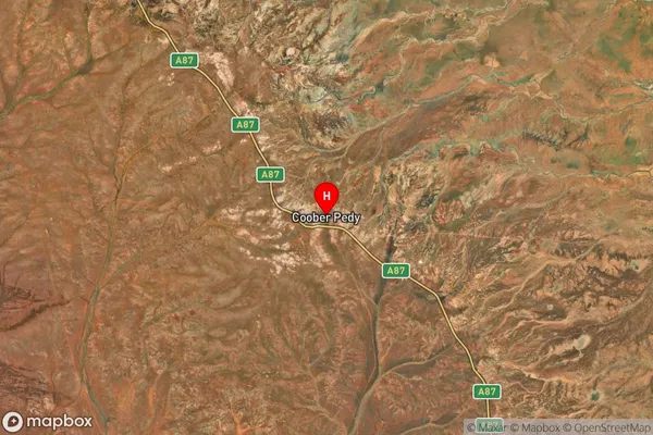
about 263.45 meters height above sea level (Altitude)Coober Pedy Suburb Map (Satellite)
Distances
The distance from Coober Pedy, South Australia - Outback, SA to AU Greater Capital CitiesSA1 Code 2011
40602113903SA1 Code 2016
40602113903SA2 Code
406021139SA3 Code
40602SA4 Code
406RA 2011
5RA 2016
5MMM 2015
7MMM 2019
7Charge Zone
S2LGA Region
Coober PedyLGA Code
41330Electorate
Grey