High Wycombe Area, High Wycombe Postcode(6057) & Map in High Wycombe, Perth - South East, WA
High Wycombe Area, High Wycombe Postcode(6057) & Map in High Wycombe, Perth - South East, WA, AU, Postcode: 6057
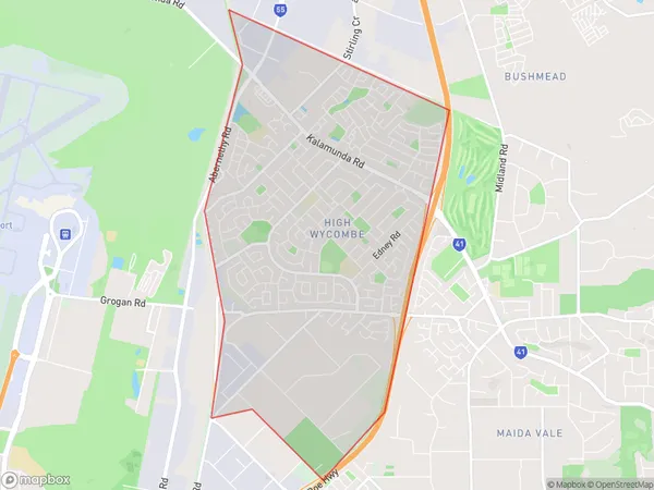
High Wycombe, High Wycombe, Kalamunda, Perth - South East, Western Australia, Australia, 6057
High Wycombe Postcode
Area Name
High WycombeHigh Wycombe Suburb Area Map (Polygon)
High Wycombe Introduction
High Wycombe is a suburb of Perth, Western Australia, located 25 kilometers southeast of the city center. It is known for its natural beauty, including the nearby Darling Range and the Swan River. The suburb has a population of approximately 10,000 people and is home to a variety of amenities, including schools, shopping centers, and parks.State Name
City or Big Region
District or Regional Area
Suburb Name
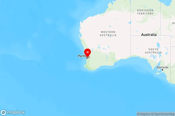
High Wycombe Region Map
Country
Main Region in AU
R2Coordinates
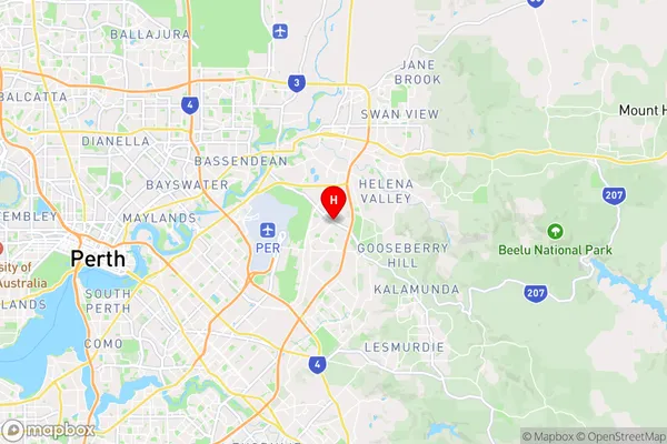
-31.9365204,116.006311 (latitude/longitude)High Wycombe Area Map (Street)
Longitude
116.004245Latitude
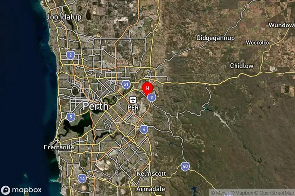
-31.94994High Wycombe Suburb Map (Satellite)
Distances
The distance from High Wycombe, Perth - South East, WA to AU Greater Capital CitiesSA1 Code 2011
50605113901SA1 Code 2016
50605113910SA2 Code
506051139SA3 Code
50605SA4 Code
506RA 2011
1RA 2016
1MMM 2015
1MMM 2019
1Charge Zone
W1LGA Region
BelmontLGA Code
50490Electorate
Swan