Red Hill Area, Red Hill Postcode(6056) & Map in Red Hill, Perth - North East, WA
Red Hill Area, Red Hill Postcode(6056) & Map in Red Hill, Perth - North East, WA, AU, Postcode: 6056
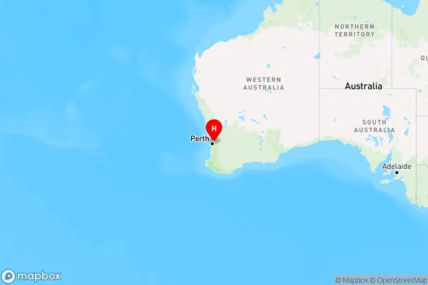
Red Hill, Stratton - Jane Brook, Swan, Perth - North East, Western Australia, Australia, 6056
Red Hill Postcode
Area Name
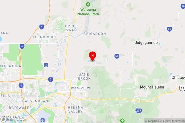
Red HillRed Hill Suburb Area Map (Polygon)

Red Hill Introduction
Red Hill is a suburb of Perth, Western Australia, located 12 kilometers northeast of the central business district. It is known for its natural beauty, including the Red Hill Reserve and the Red Hill Lookout, and is a popular destination for hiking and picnicking.State Name
City or Big Region
District or Regional Area
Suburb Name
Red Hill Region Map
Country
Main Region in AU
R2Coordinates
-31.8293505,116.0768075 (latitude/longitude)Red Hill Area Map (Street)
Longitude
116.0261Latitude
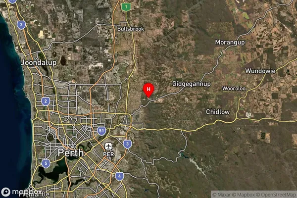
-31.838398Red Hill Suburb Map (Satellite)
Distances
The distance from Red Hill, Perth - North East, WA to AU Greater Capital CitiesSA1 Code 2011
50403106710SA1 Code 2016
50403106710SA2 Code
504031067SA3 Code
50403SA4 Code
504RA 2011
1RA 2016
1MMM 2015
1MMM 2019
1Charge Zone
W1LGA Region
BassendeanLGA Code
50350Electorate
Pearce