Lockridge Area, Lockridge Postcode(6054) & Map in Lockridge, Perth - North East, WA
Lockridge Area, Lockridge Postcode(6054) & Map in Lockridge, Perth - North East, WA, AU, Postcode: 6054
Lockridge, Lockridge - Kiara, Swan, Perth - North East, Western Australia, Australia, 6054
Lockridge Postcode
Area Name
LockridgeLockridge Suburb Area Map (Polygon)
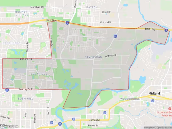
Lockridge Introduction
Lockridge is a suburb of Perth, Western Australia, located 13 kilometers northeast of the central business district. It is known for its parks, including the Lockridge Reserve, and its proximity to the Swan River. The suburb has a population of approximately 9,000 people.State Name
City or Big Region
District or Regional Area
Suburb Name
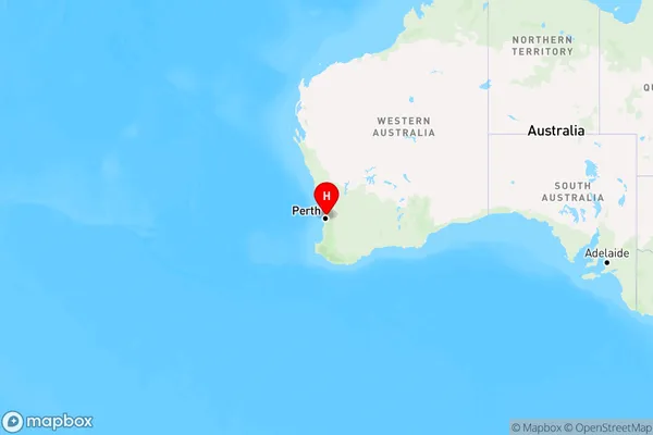
Lockridge Region Map
Country
Main Region in AU
R2Coordinates
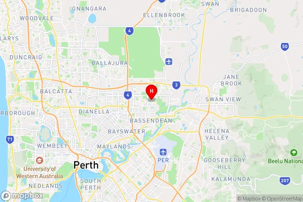
-31.8818885,115.9498271 (latitude/longitude)Lockridge Area Map (Street)
Longitude
115.942572Latitude
-31.901801Lockridge Elevation
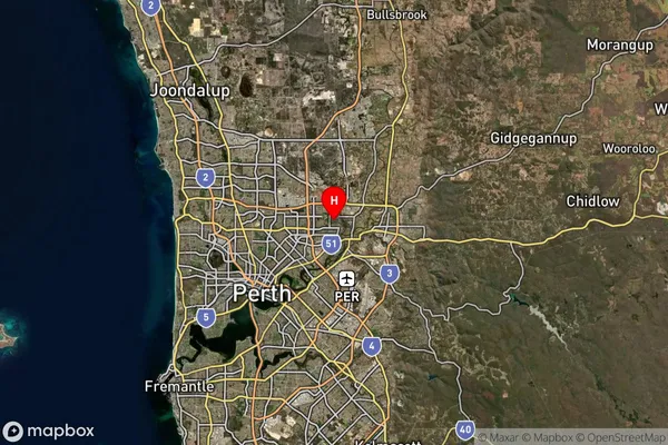
about 19.59 meters height above sea level (Altitude)Lockridge Suburb Map (Satellite)
Distances
The distance from Lockridge, Perth - North East, WA to AU Greater Capital CitiesSA1 Code 2011
50403106215SA1 Code 2016
50403106215SA2 Code
504031062SA3 Code
50403SA4 Code
504RA 2011
1RA 2016
1MMM 2015
1MMM 2019
1Charge Zone
W1LGA Region
BassendeanLGA Code
50350Electorate
Perth