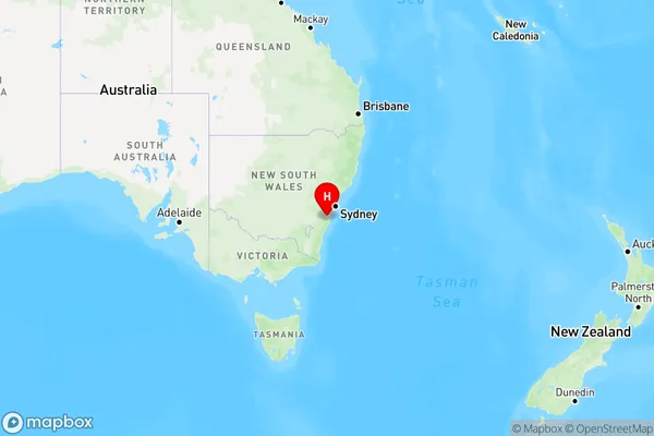
Myra Vale Area, Myra Vale Postcode(2577) & Map in Myra Vale, Southern Highlands and Shoalhaven, NSW
Myra Vale Area, Myra Vale Postcode(2577) & Map in Myra Vale, Southern Highlands and Shoalhaven, NSW, AU, Postcode: 2577
Myra Vale, Robertson - Fitzroy Falls, Southern Highlands, Southern Highlands and Shoalhaven, New South Wales, Australia, 2577
Myra Vale Postcode
Area Name
Myra ValeMyra Vale Suburb Area Map (Polygon)

Myra Vale Introduction
Myra Vale is a suburb of Southern Highlands and Shoalhaven, NSW, AU. It is located 66 kilometers south of Sydney and 12 kilometers west of Nowra. Myra Vale is a rural area with a population of around 2,000 people. It is known for its beautiful gardens and scenic countryside. The area has a number of historic buildings, including the Myra Vale Homestead, which is a nineteenth-century farmhouse. There are also a number of wineries and cafes in the area, which attract visitors from around the region.State Name
City or Big Region
District or Regional Area
Suburb Name
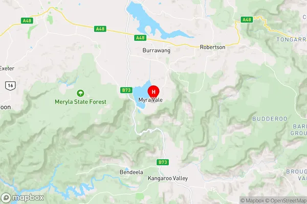
Myra Vale Region Map

Country
Main Region in AU
R3Coordinates
-34.6507651,150.5135317 (latitude/longitude)Myra Vale Area Map (Street)

Longitude
150.410978Latitude
-34.595027Myra Vale Elevation
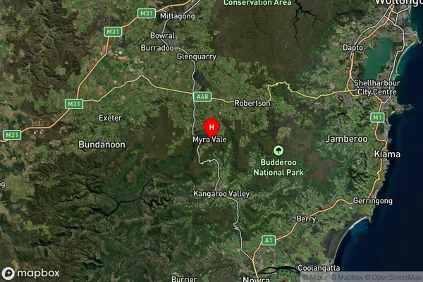
about 641.10 meters height above sea level (Altitude)Myra Vale Suburb Map (Satellite)

Distances
The distance from Myra Vale, Southern Highlands and Shoalhaven, NSW to AU Greater Capital CitiesSA1 Code 2011
11402128807SA1 Code 2016
11402128807SA2 Code
114021288SA3 Code
11402SA4 Code
114RA 2011
2RA 2016
2MMM 2015
3MMM 2019
3Charge Zone
N2LGA Region
WingecarribeeLGA Code
18350Electorate
Whitlam