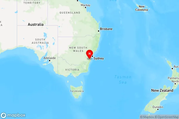
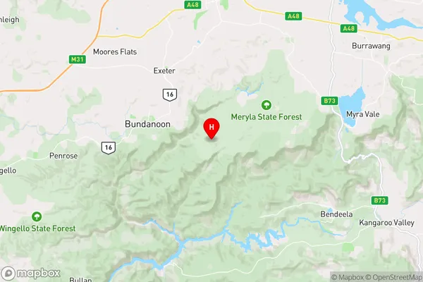
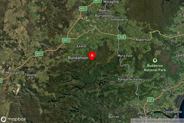
Meryla Area, Meryla Postcode(2577) & Map in Meryla, Southern Highlands and Shoalhaven, NSW
Meryla Area, Meryla Postcode(2577) & Map in Meryla, Southern Highlands and Shoalhaven, NSW, AU, Postcode: 2577
Meryla, Robertson - Fitzroy Falls, Southern Highlands, Southern Highlands and Shoalhaven, New South Wales, Australia, 2577
Meryla Postcode
Area Name
MerylaMeryla Suburb Area Map (Polygon)

Meryla Introduction
Meryla is a rural locality in the Southern Highlands and Shoalhaven regions of New South Wales, Australia. It is located in the Wingecarribee Shire and is about 225 kilometers south of Sydney. The town is named after the Merri River, which flows through it. Meryla has a post office and a general store and is a popular tourist destination for its scenic surroundings and outdoor activities.State Name
City or Big Region
District or Regional Area
Suburb Name
Meryla Region Map

Country
Main Region in AU
R3Coordinates
-34.6698391,150.3620363 (latitude/longitude)Meryla Area Map (Street)

Longitude
150.410978Latitude
-34.595027Meryla Elevation
about 641.10 meters height above sea level (Altitude)Meryla Suburb Map (Satellite)

Distances
The distance from Meryla, Southern Highlands and Shoalhaven, NSW to AU Greater Capital CitiesSA1 Code 2011
11402128810SA1 Code 2016
11402128810SA2 Code
114021288SA3 Code
11402SA4 Code
114RA 2011
2RA 2016
2MMM 2015
5MMM 2019
5Charge Zone
N2LGA Region
WingecarribeeLGA Code
18350Electorate
Whitlam