Goodar Area, Goodar Postcode(4390) & Map in Goodar, Darling Downs - Maranoa, QLD
Goodar Area, Goodar Postcode(4390) & Map in Goodar, Darling Downs - Maranoa, QLD, AU, Postcode: 4390
Goodar, Inglewood - Waggamba, Darling Downs (West) - Maranoa, Darling Downs - Maranoa, Queensland, Australia, 4390
Goodar Postcode
Area Name
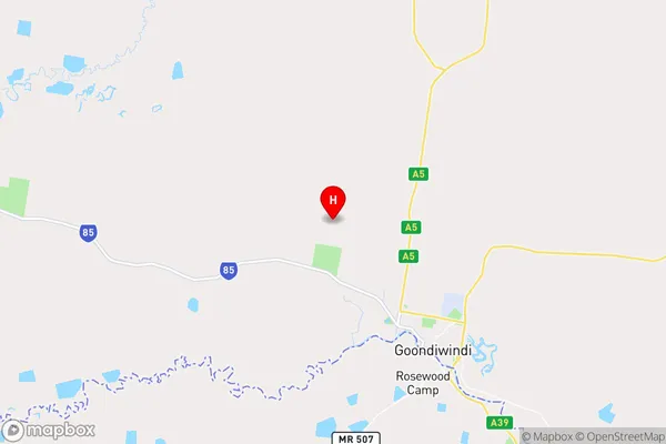
GoodarGoodar Suburb Area Map (Polygon)

Goodar Introduction
Goodar is a small town in the Darling Downs region of Queensland, Australia. It is known for its agricultural industry and has a population of around 1,000 people. The town is located on the banks of the Condamine River and has a number of historical buildings, including the Goodar Hotel and the Goodar Cemetery.State Name
City or Big Region
District or Regional Area
Suburb Name
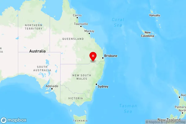
Goodar Region Map
Country
Main Region in AU
R3Coordinates
-28.4774847,150.2454525 (latitude/longitude)Goodar Area Map (Street)
Longitude
150.321016Latitude
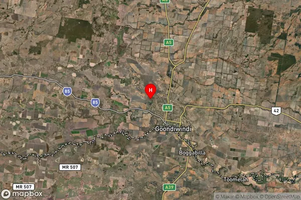
-28.228906Goodar Suburb Map (Satellite)
Distances
The distance from Goodar, Darling Downs - Maranoa, QLD to AU Greater Capital CitiesSA1 Code 2011
30701117409SA1 Code 2016
30701117409SA2 Code
307011174SA3 Code
30701SA4 Code
307RA 2011
3RA 2016
3MMM 2015
5MMM 2019
5Charge Zone
Q2LGA Region
GoondiwindiLGA Code
33610Electorate
Maranoa