Kioma Area, Kioma Postcode(4498) & Map in Kioma, Darling Downs - Maranoa, QLD
Kioma Area, Kioma Postcode(4498) & Map in Kioma, Darling Downs - Maranoa, QLD, AU, Postcode: 4498
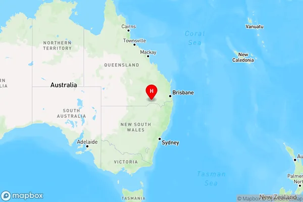
Kioma, Inglewood - Waggamba, Darling Downs (West) - Maranoa, Darling Downs - Maranoa, Queensland, Australia, 4498
Kioma Postcode
Area Name
KiomaKioma Suburb Area Map (Polygon)

Kioma Introduction
Kioma is a small town located in the Maranoa region of Queensland, Australia. It is known for its agricultural industry, particularly cattle farming. The town has a population of around 1,000 people and is situated on the Warrego Highway. Kioma is also home to a number of historical sites, including the Kioma Cemetery and the Kioma Hotel.State Name
City or Big Region
District or Regional Area
Suburb Name
Kioma Region Map
Country
Main Region in AU
R3Coordinates
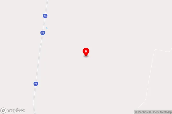
-28.2193219,149.7805312 (latitude/longitude)Kioma Area Map (Street)
Longitude
149.824698Latitude
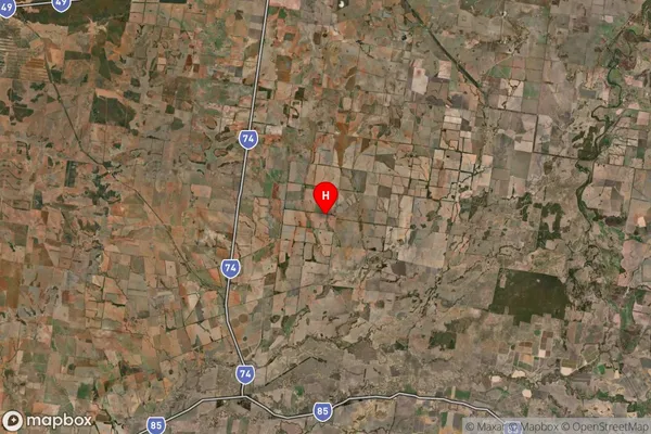
-28.415979Kioma Suburb Map (Satellite)
Distances
The distance from Kioma, Darling Downs - Maranoa, QLD to AU Greater Capital CitiesSA1 Code 2011
30701117408SA1 Code 2016
30701117408SA2 Code
307011174SA3 Code
30701SA4 Code
307RA 2011
4RA 2016
4MMM 2015
6MMM 2019
6Charge Zone
Q3LGA Region
GoondiwindiLGA Code
33610Electorate
Maranoa