Bungunya Area, Bungunya Postcode(4494) & Map in Bungunya, Darling Downs - Maranoa, QLD
Bungunya Area, Bungunya Postcode(4494) & Map in Bungunya, Darling Downs - Maranoa, QLD, AU, Postcode: 4494
Bungunya, Inglewood - Waggamba, Darling Downs (West) - Maranoa, Darling Downs - Maranoa, Queensland, Australia, 4494
Bungunya Postcode
Area Name
BungunyaBungunya Suburb Area Map (Polygon)

Bungunya Introduction
Bungunya is a locality in the Darling Downs region of Queensland, Australia. It is located in the Maranoa local government area and is situated approximately 200 km west of Brisbane. The town is known for its agricultural industry, particularly the production of cotton and wheat.State Name
City or Big Region
District or Regional Area
Suburb Name
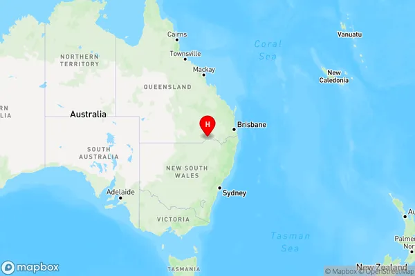
Bungunya Region Map
Country
Main Region in AU
R3Coordinates
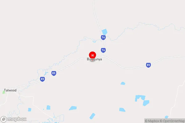
-28.428946,149.6523957 (latitude/longitude)Bungunya Area Map (Street)
Longitude
149.606552Latitude
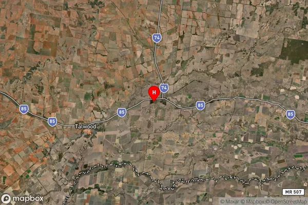
-28.143515Bungunya Suburb Map (Satellite)
Distances
The distance from Bungunya, Darling Downs - Maranoa, QLD to AU Greater Capital CitiesSA1 Code 2011
30701117408SA1 Code 2016
30701117408SA2 Code
307011174SA3 Code
30701SA4 Code
307RA 2011
4RA 2016
4MMM 2015
6MMM 2019
6Charge Zone
Q3LGA Region
GoondiwindiLGA Code
33610Electorate
Maranoa