Campbells Forest Area, Campbells Forest Postcode(3556) & Map in Campbells Forest, Bendigo, VIC
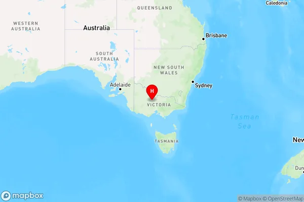
Campbells Forest Area, Campbells Forest Postcode(3556) & Map in Campbells Forest, Bendigo, VIC, AU, Postcode: 3556
Campbells Forest, Bendigo Region - North, Loddon - Elmore, Bendigo, Victoria, Australia, 3556
Campbells Forest Postcode
Area Name
Campbells ForestCampbells Forest Suburb Area Map (Polygon)

Campbells Forest Introduction
Campbells Forest is a locality in the City of Greater Bendigo, Victoria, Australia. It is located in the north-east of the city, bounded by the Bendigo Creek, McIvor Highway, and the Epsom-Kilmore railway line. The area was first settled in the 1850s and was named after the Campbell family, who were prominent landholders in the region. The locality has a variety of housing styles, including single-detached homes, units, and apartments. It is a popular area for families and retirees due to its quiet and peaceful environment, proximity to parks and recreational facilities, and excellent transport links.State Name
City or Big Region
District or Regional Area
Suburb Name
Campbells Forest Region Map

Country
Main Region in AU
R3Coordinates
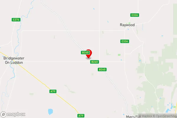
-36.5985124,144.1151013 (latitude/longitude)Campbells Forest Area Map (Street)

Longitude
144.178282Latitude
-36.656422Campbells Forest Elevation
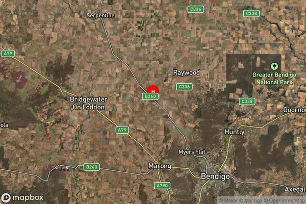
about 158.85 meters height above sea level (Altitude)Campbells Forest Suburb Map (Satellite)

Distances
The distance from Campbells Forest, Bendigo, VIC to AU Greater Capital CitiesSA1 Code 2011
20203103207SA1 Code 2016
20203103207SA2 Code
202031032SA3 Code
20203SA4 Code
202RA 2011
2RA 2016
2MMM 2015
2MMM 2019
2Charge Zone
V2LGA Region
Greater BendigoLGA Code
22620Electorate
Mallee