Ferntree Gully Area, Ferntree Gully Postcode(3156) & Map in Ferntree Gully, Melbourne - Outer East, VIC
Ferntree Gully Area, Ferntree Gully Postcode(3156) & Map in Ferntree Gully, Melbourne - Outer East, VIC, AU, Postcode: 3156
Ferntree Gully, Ferntree Gully (North), Knox, Melbourne - Outer East, Victoria, Australia, 3156
Ferntree Gully Postcode
Area Name
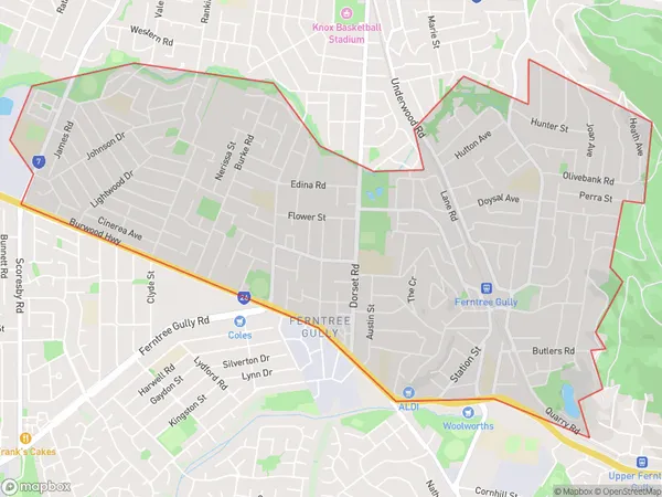
Ferntree GullyFerntree Gully Suburb Area Map (Polygon)

Ferntree Gully Introduction
Ferntree Gully is a suburb in Melbourne's outer east, located 10 kilometers from the city center. It is known for its large shopping center, numerous parks, and tree-lined streets. The suburb has a diverse population and is home to many immigrants and refugees. It is also home to several educational institutions, including Monash University and the Australian Catholic University.State Name
City or Big Region
District or Regional Area
Suburb Name
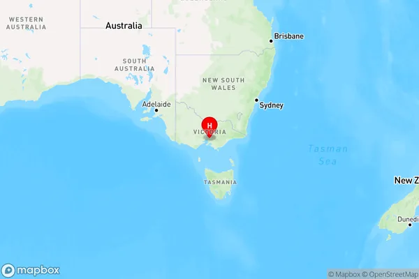
Ferntree Gully Region Map

Country
Main Region in AU
R1Coordinates
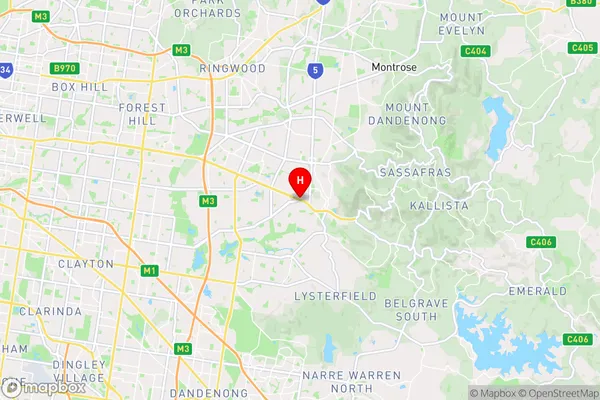
-37.8826855,145.2776105 (latitude/longitude)Ferntree Gully Area Map (Street)

Longitude
145.292895Latitude
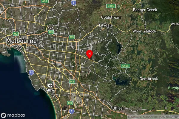
-37.917932Ferntree Gully Suburb Map (Satellite)

Distances
The distance from Ferntree Gully, Melbourne - Outer East, VIC to AU Greater Capital CitiesSA1 Code 2011
21101125332SA1 Code 2016
21101144718SA2 Code
211011447SA3 Code
21101SA4 Code
211RA 2011
1RA 2016
1MMM 2015
1MMM 2019
1Charge Zone
V1LGA Region
KnoxLGA Code
23670Electorate
Casey