Anglesea Area, Anglesea Postcode(3230) & Map in Anglesea, Geelong, VIC
Anglesea Area, Anglesea Postcode(3230) & Map in Anglesea, Geelong, VIC, AU, Postcode: 3230
Anglesea, Lorne - Anglesea, Surf Coast - Bellarine Peninsula, Geelong, Victoria, Australia, 3230
Anglesea Postcode
Area Name
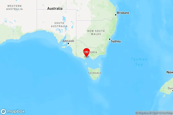
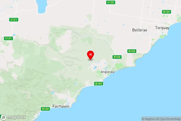
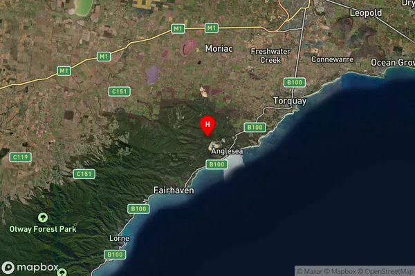
AngleseaAnglesea Suburb Area Map (Polygon)

Anglesea Introduction
Anglesea is a coastal town in Victoria, Australia, located 90 kilometers from Melbourne. It is known for its beautiful beaches, stunning coastal walks, and vibrant arts and culture scene. The town has a population of around 10,000 people and is surrounded by the Great Ocean Road and the Bellarine Peninsula.State Name
City or Big Region
District or Regional Area
Suburb Name
Anglesea Region Map

Country
Main Region in AU
R2Coordinates
-38.3850062,144.1501922 (latitude/longitude)Anglesea Area Map (Street)

Longitude
144.176397Latitude
-38.409363Anglesea Suburb Map (Satellite)

Distances
The distance from Anglesea, Geelong, VIC to AU Greater Capital CitiesSA1 Code 2011
20303104907SA1 Code 2016
20303104907SA2 Code
203031049SA3 Code
20303SA4 Code
203RA 2011
2RA 2016
2MMM 2015
5MMM 2019
5Charge Zone
V2LGA Region
Surf CoastLGA Code
26490Electorate
Corangamite