Breamlea Area, Breamlea Postcode(3227) & Map in Breamlea, Geelong, VIC
Breamlea Area, Breamlea Postcode(3227) & Map in Breamlea, Geelong, VIC, AU, Postcode: 3227
Breamlea, Ocean Grove - Barwon Heads, Surf Coast - Bellarine Peninsula, Geelong, Victoria, Australia, 3227
Breamlea Postcode
Area Name
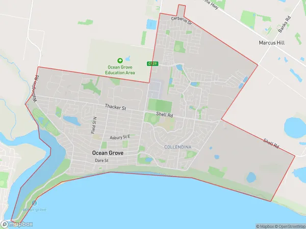
BreamleaBreamlea Suburb Area Map (Polygon)

Breamlea Introduction
Breamlea is a suburb in the City of Greater Geelong, Victoria, Australia. It is located in the western part of the city, approximately 10 kilometers from the central business district. Breamlea is known for its rural atmosphere, with many properties featuring large gardens and acreage. The suburb has a variety of housing options, including single-family homes, apartments, and townhouses. It is also home to several parks and recreational facilities, including Breamlea Reserve, which features a playground, walking tracks, and a cricket oval.State Name
City or Big Region
District or Regional Area
Suburb Name
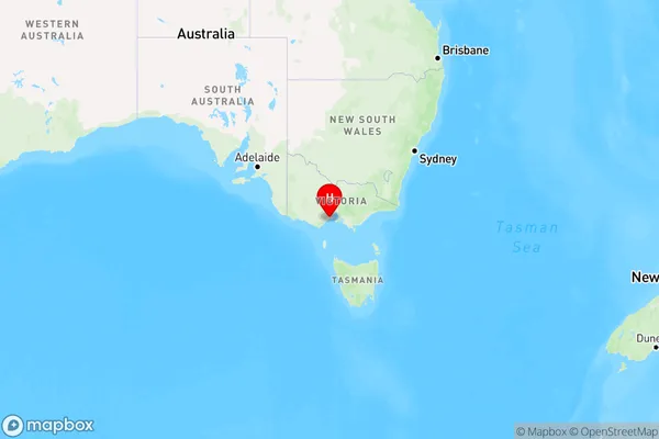
Breamlea Region Map

Country
Main Region in AU
R2Coordinates
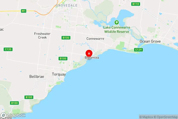
-38.3,144.383333 (latitude/longitude)Breamlea Area Map (Street)

Longitude
144.40814Latitude
-38.263052Breamlea Elevation
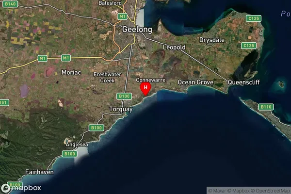
about 12.93 meters height above sea level (Altitude)Breamlea Suburb Map (Satellite)

Distances
The distance from Breamlea, Geelong, VIC to AU Greater Capital CitiesSA1 Code 2011
20303105042SA1 Code 2016
20303105049SA2 Code
203031050SA3 Code
20303SA4 Code
203RA 2011
2RA 2016
2MMM 2015
2MMM 2019
2Charge Zone
V2LGA Region
QueenscliffeLGA Code
26080Electorate
Corangamite