Queenscliff Area, Queenscliff Postcode(3225) & Map in Queenscliff, Geelong, VIC
Queenscliff Area, Queenscliff Postcode(3225) & Map in Queenscliff, Geelong, VIC, AU, Postcode: 3225
Queenscliff, Point Lonsdale - Queenscliff, Surf Coast - Bellarine Peninsula, Geelong, Victoria, Australia, 3225
Queenscliff Postcode
Area Name
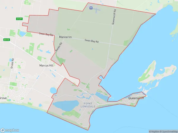
QueenscliffQueenscliff Suburb Area Map (Polygon)

Queenscliff Introduction
Queenscliff is a coastal town located in the Bellarine Peninsula, Victoria, Australia. It is known for its stunning beaches, rugged cliffs, and historic lighthouse. The town has a population of around 2,000 people and is a popular destination for tourists and locals alike. Queenscliff has a rich history, with its first settlement dating back to the 1850s. It was once a major port for the export of coal and timber, but today it is a popular seaside resort with a variety of accommodation options, restaurants, and cafes. The town is also home to the Queenscliff Maritime Museum, which showcases the history of the port and the surrounding area.State Name
City or Big Region
District or Regional Area
Suburb Name
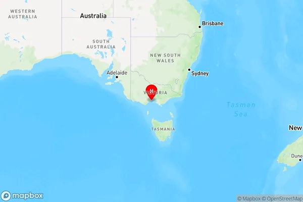
Queenscliff Region Map

Country
Main Region in AU
R2Coordinates
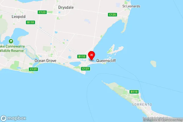
-38.2677746,144.6286897 (latitude/longitude)Queenscliff Area Map (Street)

Longitude
144.614191Latitude
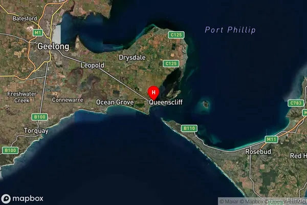
-38.271074Queenscliff Suburb Map (Satellite)

Distances
The distance from Queenscliff, Geelong, VIC to AU Greater Capital CitiesSA1 Code 2011
20303105207SA1 Code 2016
20303105207SA2 Code
203031052SA3 Code
20303SA4 Code
203RA 2011
2RA 2016
2MMM 2015
3MMM 2019
3Charge Zone
V2LGA Region
QueenscliffeLGA Code
26080Electorate
Corangamite