Point Lonsdale Area, Point Lonsdale Postcode(3225) & Map in Point Lonsdale, Geelong, VIC
Point Lonsdale Area, Point Lonsdale Postcode(3225) & Map in Point Lonsdale, Geelong, VIC, AU, Postcode: 3225
Point Lonsdale, Point Lonsdale - Queenscliff, Surf Coast - Bellarine Peninsula, Geelong, Victoria, Australia, 3225
Point Lonsdale Postcode
Area Name
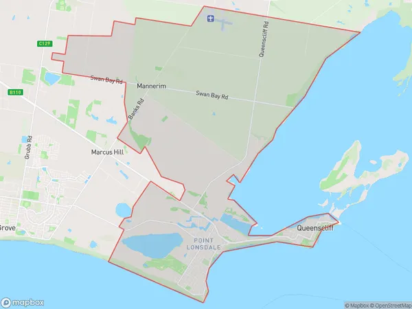
Point LonsdalePoint Lonsdale Suburb Area Map (Polygon)

Point Lonsdale Introduction
Point Lonsdale is a coastal suburb in Geelong, Victoria, Australia. It is located on the Bellarine Peninsula and is known for its beautiful beaches, coastal walks, and vibrant community. The suburb has a population of around 3,000 people and is located about 45 minutes from Geelong's central business district. Point Lonsdale has a number of parks and recreational facilities, including a golf course, a tennis club, and a bowls club. It is also home to a number of cafes and restaurants, as well as a small supermarket.State Name
City or Big Region
District or Regional Area
Suburb Name
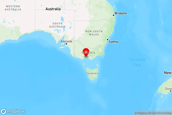
Point Lonsdale Region Map

Country
Main Region in AU
R2Coordinates
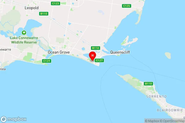
-38.283333,144.6 (latitude/longitude)Point Lonsdale Area Map (Street)

Longitude
144.614191Latitude
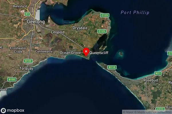
-38.271074Point Lonsdale Suburb Map (Satellite)

Distances
The distance from Point Lonsdale, Geelong, VIC to AU Greater Capital CitiesSA1 Code 2011
20303105211SA1 Code 2016
20303105211SA2 Code
203031052SA3 Code
20303SA4 Code
203RA 2011
2RA 2016
2MMM 2015
2MMM 2019
2Charge Zone
V2LGA Region
QueenscliffeLGA Code
26080Electorate
Corangamite