Royal Exchange Area, Royal Exchange Postcode(1223) & Map in Royal Exchange, Sydney - City and Inner South, NSW
Royal Exchange Area, Royal Exchange Postcode(1223) & Map in Royal Exchange, Sydney - City and Inner South, NSW, AU, Postcode: 1223
Royal Exchange, Sydney - Haymarket - The Rocks, Sydney Inner City, Sydney - City and Inner South, New South Wales, Australia, 1223
Royal Exchange Postcode
Area Name
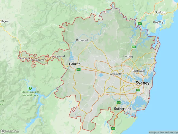
Royal ExchangeRoyal Exchange Suburb Area Map (Polygon)
Royal Exchange Introduction
The Royal Exchange is a historic building in Sydney's financial district, built-in 1817. It is renowned for its Gothic Revival architecture and has played a significant role in Sydney's economic and cultural development. The building houses a variety of businesses and offices and is a popular tourist attraction.State Name
City or Big Region
District or Regional Area
Suburb Name
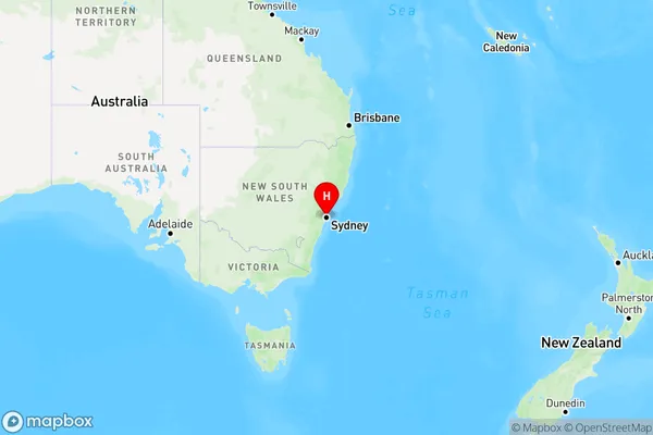
Royal Exchange Region Map
Country
Main Region in AU
R1Coordinates
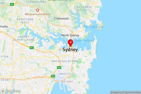
-33.8638362,151.2092356 (latitude/longitude)Royal Exchange Area Map (Street)
Longitude
151.207905Latitude
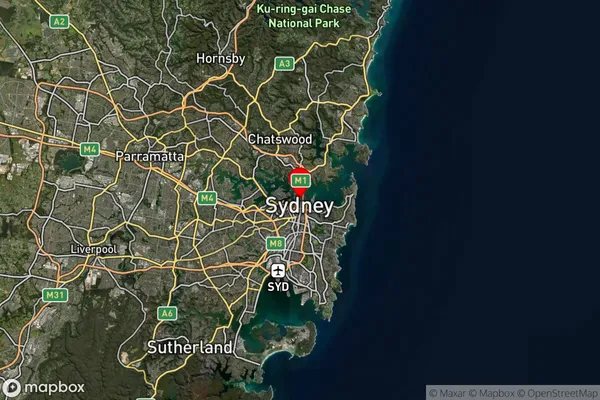
-33.86533Royal Exchange Suburb Map (Satellite)
Distances
The distance from Royal Exchange, Sydney - City and Inner South, NSW to AU Greater Capital CitiesSA1 Code 2011
11703133751SA1 Code 2016
11703133751SA2 Code
117031337SA3 Code
11703SA4 Code
117RA 2011
1RA 2016
1MMM 2015
1MMM 2019
1Charge Zone
N1LGA Region
SydneyLGA Code
17200Electorate
Sydney