Grosvenor Place Area, Grosvenor Place Postcode(1218) & Map in Grosvenor Place, Sydney - Baulkham Hills and Hawkesbury, NSW
Grosvenor Place Area, Grosvenor Place Postcode(1218) & Map in Grosvenor Place, Sydney - Baulkham Hills and Hawkesbury, NSW, AU, Postcode: 1218
Grosvenor Place, West Pennant Hills, Baulkham Hills, Sydney - Baulkham Hills and Hawkesbury, New South Wales, Australia, 1218
Grosvenor Place Postcode
Area Name
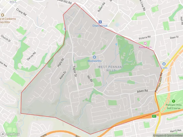
Grosvenor PlaceGrosvenor Place Suburb Area Map (Polygon)

Grosvenor Place Introduction
Grosvenor Place is a luxurious residential development located in the prestigious suburb of Baulkham Hills and Hawkesbury, NSW, AU. It offers a range of high-end apartments and townhouses, with stunning views of the surrounding countryside. The development features a range of amenities, including a swimming pool, gym, and tennis court, and is conveniently located close to shopping centers, schools, and public transportation.State Name
City or Big Region
District or Regional Area
Suburb Name
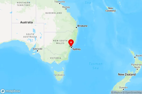
Grosvenor Place Region Map

Country
Main Region in AU
R1Coordinates
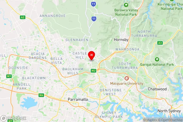
-33.7421131,151.0336854 (latitude/longitude)Grosvenor Place Area Map (Street)

Longitude
151.034025Latitude
-33.741311Grosvenor Place Elevation
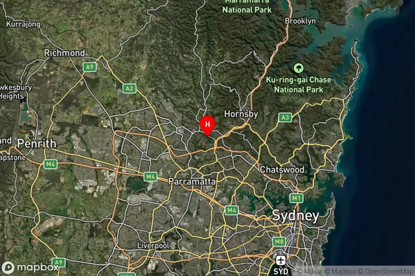
about 135.83 meters height above sea level (Altitude)Grosvenor Place Suburb Map (Satellite)

Distances
The distance from Grosvenor Place, Sydney - Baulkham Hills and Hawkesbury, NSW to AU Greater Capital CitiesSA1 Code 2011
11501129616SA1 Code 2016
11501129616SA2 Code
115011296SA3 Code
11501SA4 Code
115RA 2011
1RA 2016
1MMM 2015
1MMM 2019
1Charge Zone
N1LGA Region
ParramattaLGA Code
16260Electorate
Sydney