Warrimoo Area, Warrimoo Postcode(2774) & Map in Warrimoo, Sydney - Outer West and Blue Mountains, NSW
Warrimoo Area, Warrimoo Postcode(2774) & Map in Warrimoo, Sydney - Outer West and Blue Mountains, NSW, AU, Postcode: 2774
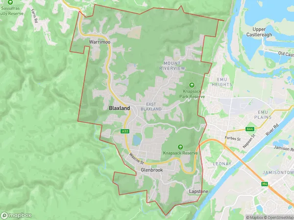
Warrimoo, Blaxland - Warrimoo - Lapstone, Blue Mountains, Sydney - Outer West and Blue Mountains, New South Wales, Australia, 2774
Warrimoo Postcode
Area Name
WarrimooWarrimoo Suburb Area Map (Polygon)
Warrimoo Introduction
Warrimoo is a rural locality in the Blue Mountains, 86 kilometres west of Sydney. It is part of the City of Blue Mountains. The population is 1,563. Warrimoo has a general store, post office, and railway station. The area is known for its scenic beauty and outdoor activities, including hiking, camping, and fishing. The town is surrounded by the Wolgan River and the Wolgan Valley Conservation Area.State Name
City or Big Region
District or Regional Area
Suburb Name
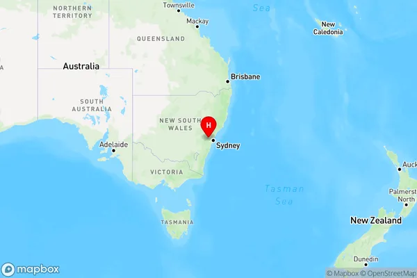
Warrimoo Region Map
Country
Main Region in AU
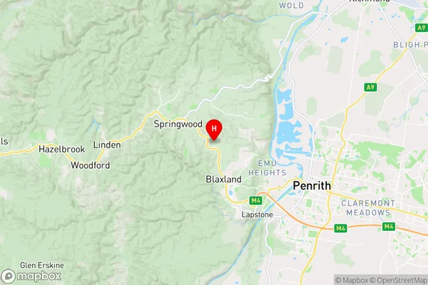
R3Coordinates
-33.716667,150.6 (latitude/longitude)Warrimoo Area Map (Street)
Longitude
150.62902Latitude
-33.732671Warrimoo Elevation
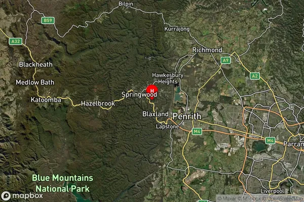
about 274.32 meters height above sea level (Altitude)Warrimoo Suburb Map (Satellite)
Distances
The distance from Warrimoo, Sydney - Outer West and Blue Mountains, NSW to AU Greater Capital CitiesSA1 Code 2011
12401145037SA1 Code 2016
12401145037SA2 Code
124011450SA3 Code
12401SA4 Code
124RA 2011
1RA 2016
1MMM 2015
1MMM 2019
1Charge Zone
N1LGA Region
PenrithLGA Code
16350Electorate
Macquarie