Blaxland Area, Blaxland Postcode(2774) & Map in Blaxland, Sydney - Outer West and Blue Mountains, NSW
Blaxland Area, Blaxland Postcode(2774) & Map in Blaxland, Sydney - Outer West and Blue Mountains, NSW, AU, Postcode: 2774
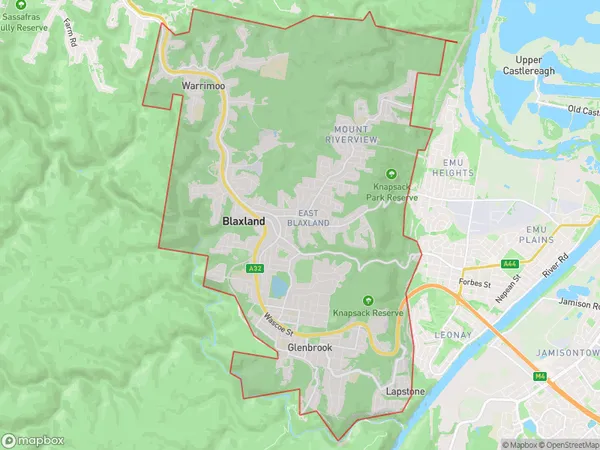
Blaxland, Blaxland - Warrimoo - Lapstone, Blue Mountains, Sydney - Outer West and Blue Mountains, New South Wales, Australia, 2774
Blaxland Postcode
Area Name
BlaxlandBlaxland Suburb Area Map (Polygon)
Blaxland Introduction
Blaxland is a suburb in the City of Blue Mountains, located in the state of New South Wales, Australia. It is situated in the outer western suburbs of Sydney and is known for its scenic views of the Blue Mountains. Blaxland is a popular destination for outdoor activities such as hiking, bushwalking, and mountain biking. The suburb has a variety of housing options, including apartments, townhouses, and detached homes. It is also home to several schools, parks, and recreational facilities.State Name
City or Big Region
District or Regional Area
Suburb Name
Blaxland Region Map

Country
Main Region in AU
R3Coordinates
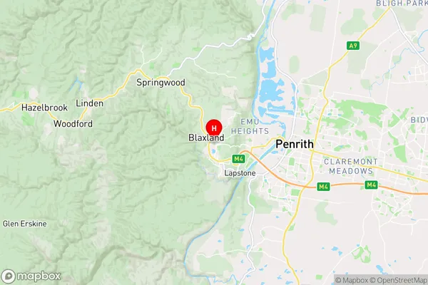
-33.75,150.616667 (latitude/longitude)Blaxland Area Map (Street)
Longitude
150.62902Latitude
-33.732671Blaxland Elevation
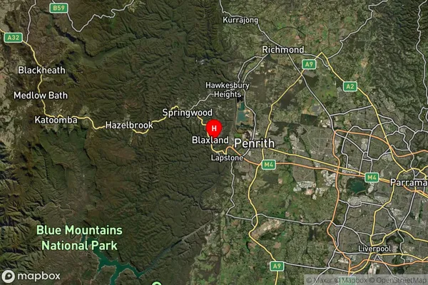
about 274.32 meters height above sea level (Altitude)Blaxland Suburb Map (Satellite)
Distances
The distance from Blaxland, Sydney - Outer West and Blue Mountains, NSW to AU Greater Capital CitiesSA1 Code 2011
12401145015SA1 Code 2016
12401145015SA2 Code
124011450SA3 Code
12401SA4 Code
124RA 2011
1RA 2016
1MMM 2015
1MMM 2019
1Charge Zone
N1LGA Region
PenrithLGA Code
16350Electorate
Macquarie