Tregear Area, Tregear Postcode(2770) & Map in Tregear, Sydney - Blacktown, NSW
Tregear Area, Tregear Postcode(2770) & Map in Tregear, Sydney - Blacktown, NSW, AU, Postcode: 2770
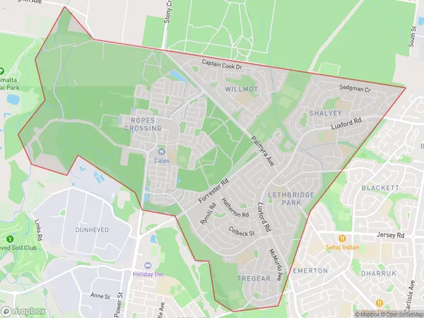
Tregear, Lethbridge Park - Tregear, Mount Druitt, Sydney - Blacktown, New South Wales, Australia, 2770
Tregear Postcode
Area Name
TregearTregear Suburb Area Map (Polygon)
Tregear Introduction
Tregear is a suburb in the Blacktown area of Sydney, New South Wales, Australia. It is located 21 kilometers west of Sydney's central business district and is part of the City of Blacktown. The suburb is named after John Tregear, who was a convict transported to Australia in 1788. Tregear is known for its large industrial area and has a population of around 10,000 people.State Name
City or Big Region
District or Regional Area
Suburb Name
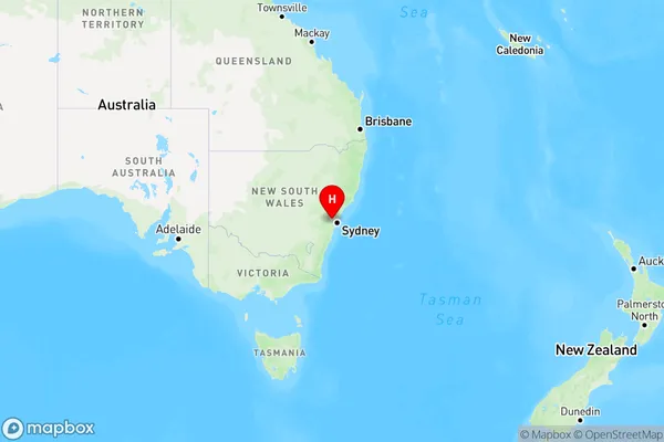
Tregear Region Map
Country
Main Region in AU
R1Coordinates
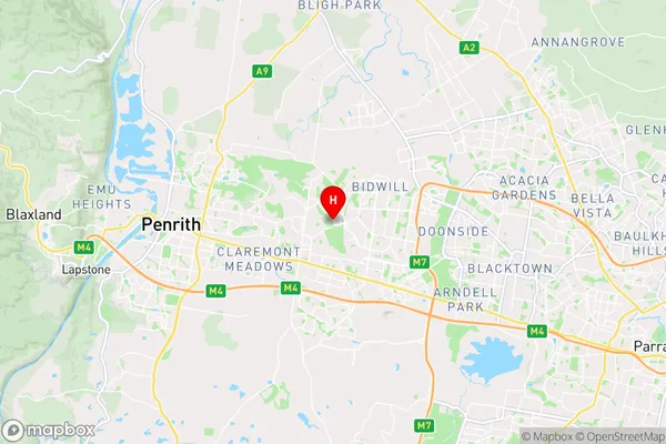
-33.75,150.7944 (latitude/longitude)Tregear Area Map (Street)
Longitude
150.810246Latitude
-33.756443Tregear Elevation
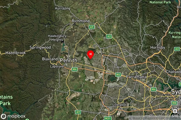
about 45.18 meters height above sea level (Altitude)Tregear Suburb Map (Satellite)
Distances
The distance from Tregear, Sydney - Blacktown, NSW to AU Greater Capital CitiesSA1 Code 2011
11603131630SA1 Code 2016
11603131630SA2 Code
116031316SA3 Code
11603SA4 Code
116RA 2011
1RA 2016
1MMM 2015
1MMM 2019
1Charge Zone
N1LGA Region
BlacktownLGA Code
10750Electorate
McMahon