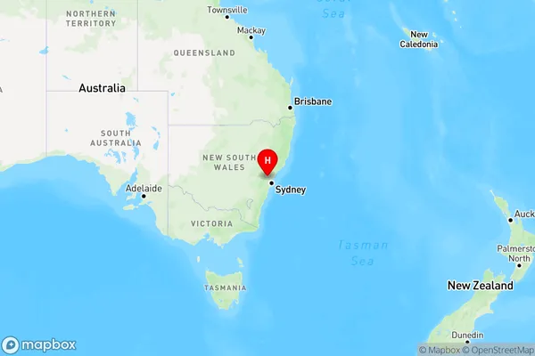
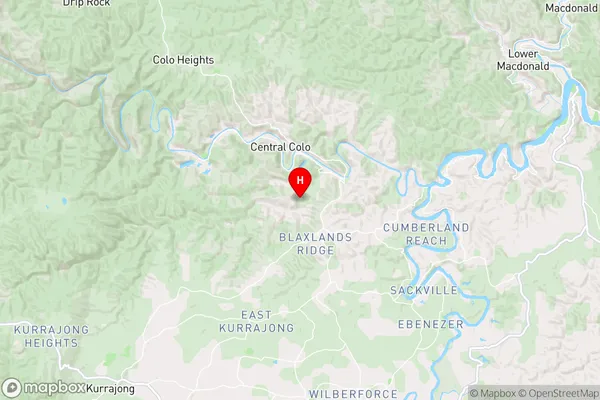
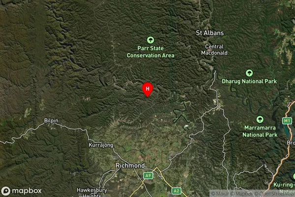
Wheeny Creek Area, Wheeny Creek Postcode(2758) & Map in Wheeny Creek, Sydney - Baulkham Hills and Hawkesbury, NSW
Wheeny Creek Area, Wheeny Creek Postcode(2758) & Map in Wheeny Creek, Sydney - Baulkham Hills and Hawkesbury, NSW, AU, Postcode: 2758
Wheeny Creek, Bilpin - Colo - St Albans, Hawkesbury, Sydney - Baulkham Hills and Hawkesbury, New South Wales, Australia, 2758
Wheeny Creek Postcode
Area Name
Wheeny CreekWheeny Creek Suburb Area Map (Polygon)

Wheeny Creek Introduction
Weny Creek is a watercourse located in the Sydney region, flowing into the Hawkesbury River. It is a tributary of the Macquarie River, and its name is derived from the Aboriginal word "Wenye", meaning "crocodile". The creek has a length of approximately 16 kilometers and provides water to the local area for irrigation, drinking, and other purposes. It is also home to a variety of wildlife, including fish, birds, and reptiles.State Name
City or Big Region
District or Regional Area
Suburb Name
Wheeny Creek Region Map

Country
Main Region in AU
R3Coordinates
-33.4453628,150.7979215 (latitude/longitude)Wheeny Creek Area Map (Street)

Longitude
150.601824Latitude
-33.483614Wheeny Creek Elevation
about 423.39 meters height above sea level (Altitude)Wheeny Creek Suburb Map (Satellite)

Distances
The distance from Wheeny Creek, Sydney - Baulkham Hills and Hawkesbury, NSW to AU Greater Capital CitiesSA1 Code 2011
11503129907SA1 Code 2016
11503129907SA2 Code
115031299SA3 Code
11503SA4 Code
115RA 2011
2RA 2016
2MMM 2015
5MMM 2019
5Charge Zone
N1LGA Region
HawkesburyLGA Code
13800Electorate
Macquarie