Mulgoa Area, Mulgoa Postcode(2745) & Map in Mulgoa, Sydney - Outer West and Blue Mountains, NSW
Mulgoa Area, Mulgoa Postcode(2745) & Map in Mulgoa, Sydney - Outer West and Blue Mountains, NSW, AU, Postcode: 2745
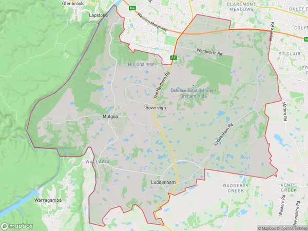
Mulgoa, Mulgoa - Luddenham - Orchard Hills, Penrith, Sydney - Outer West and Blue Mountains, New South Wales, Australia, 2745
Mulgoa Postcode
Area Name
MulgoaMulgoa Suburb Area Map (Polygon)
Mulgoa Introduction
Mulgoa is a suburb in the local government area of the City of Blue Mountains, located in New South Wales, Australia. It is situated 66 kilometers west of Sydney's central business district and is part of the Greater Western Sydney region. Mulgoa is known for its scenic beauty, with lush green forests and picturesque waterways. It is home to several parks, including the Mulgoa Reserve and the Blue Mountains National Park. The suburb has a diverse population and is popular with families and young professionals.State Name
City or Big Region
District or Regional Area
Suburb Name
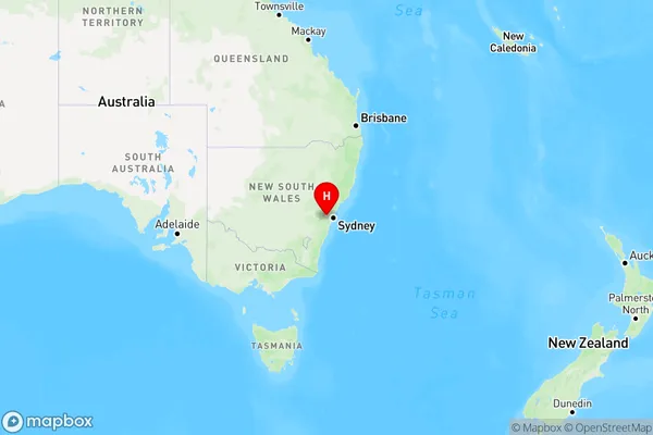
Mulgoa Region Map
Country
Main Region in AU
R1Coordinates
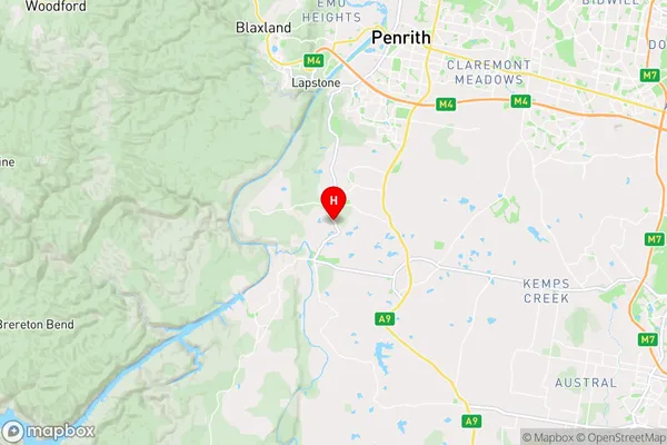
-33.8461,150.6525 (latitude/longitude)Mulgoa Area Map (Street)
Longitude
150.671487Latitude
-33.871341Mulgoa Elevation
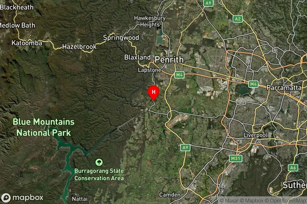
about 82.10 meters height above sea level (Altitude)Mulgoa Suburb Map (Satellite)
Distances
The distance from Mulgoa, Sydney - Outer West and Blue Mountains, NSW to AU Greater Capital CitiesSA1 Code 2011
12403146305SA1 Code 2016
12403146305SA2 Code
124031463SA3 Code
12403SA4 Code
124RA 2011
2RA 2016
1MMM 2015
2MMM 2019
1Charge Zone
N1LGA Region
PenrithLGA Code
16350Electorate
Lindsay