Shipley Area, Shipley Postcode(2785) & Map in Shipley, Sydney - Outer West and Blue Mountains, NSW
Shipley Area, Shipley Postcode(2785) & Map in Shipley, Sydney - Outer West and Blue Mountains, NSW, AU, Postcode: 2785
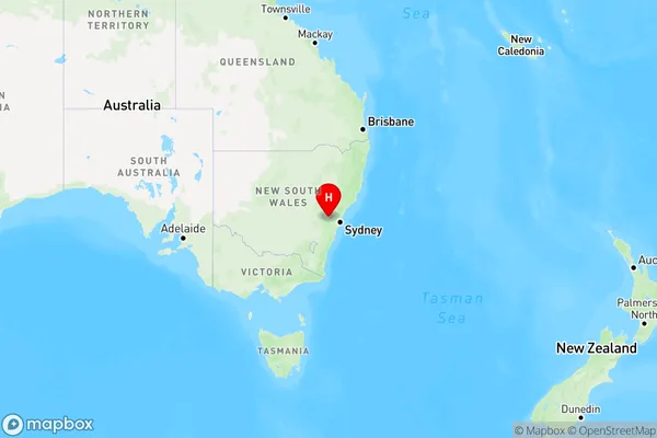
Shipley, Blackheath - Megalong Valley, Blue Mountains, Sydney - Outer West and Blue Mountains, New South Wales, Australia, 2785
Shipley Postcode
Area Name
ShipleyShipley Suburb Area Map (Polygon)

Shipley Introduction
Shipley is a suburb in the City of Canada Bay, located 15 kilometres west of Sydney's central business district. It is part of the Greater Western Sydney region and is known for its picturesque gardens, parks, and tranquil atmosphere. The suburb has a rich history, with many historic buildings and sites, including the Shipley Public School and the Shipley Women's College. Shipley is also home to a variety of shops, cafes, and restaurants, making it a popular destination for locals and visitors alike.State Name
City or Big Region
District or Regional Area
Suburb Name
Shipley Region Map
Country
Main Region in AU
R3Coordinates
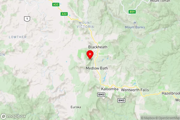
-33.6587,150.267 (latitude/longitude)Shipley Area Map (Street)
Longitude
150.181517Latitude
-33.707725Shipley Elevation
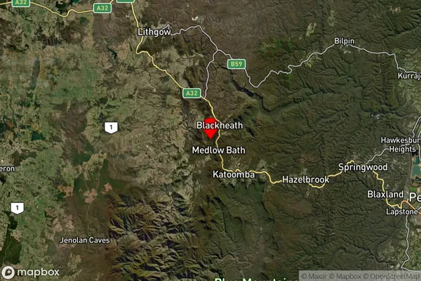
about 503.92 meters height above sea level (Altitude)Shipley Suburb Map (Satellite)
Distances
The distance from Shipley, Sydney - Outer West and Blue Mountains, NSW to AU Greater Capital CitiesSA1 Code 2011
12401144911SA1 Code 2016
12401144911SA2 Code
124011449SA3 Code
12401SA4 Code
124RA 2011
2RA 2016
2MMM 2015
3MMM 2019
3Charge Zone
N1LGA Region
Blue MountainsLGA Code
10900Electorate
Macquarie