Megalong Area, Megalong Postcode(2785) & Map in Megalong, Sydney - Outer West and Blue Mountains, NSW
Megalong Area, Megalong Postcode(2785) & Map in Megalong, Sydney - Outer West and Blue Mountains, NSW, AU, Postcode: 2785
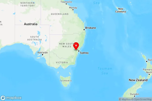
Megalong, Blackheath - Megalong Valley, Blue Mountains, Sydney - Outer West and Blue Mountains, New South Wales, Australia, 2785
Megalong Postcode
Area Name
MegalongMegalong Suburb Area Map (Polygon)

Megalong Introduction
Megalong is a small rural town located in the Blue Mountains, NSW, Australia. It is situated in the Megalong Valley and is surrounded by stunning mountain scenery. The town is known for its coal mining heritage and is home to the Megalong Valley Railway. Visitors can explore the historic coal mines, visit the Megalong Valley Railway Museum, or take a walk through the beautiful gardens and parks. Megalong is also a popular destination for outdoor enthusiasts, with many hiking and camping trails in the surrounding area.State Name
City or Big Region
District or Regional Area
Suburb Name
Megalong Region Map
Country
Main Region in AU
R3Coordinates
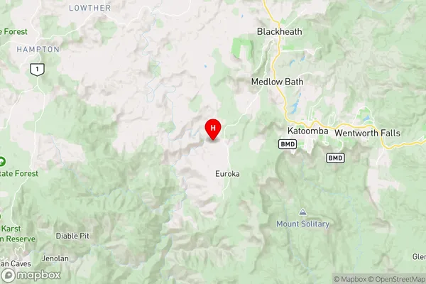
-33.7228034,150.2204828 (latitude/longitude)Megalong Area Map (Street)
Longitude
150.181517Latitude
-33.707725Megalong Elevation
about 503.92 meters height above sea level (Altitude)Megalong Suburb Map (Satellite)

Distances
The distance from Megalong, Sydney - Outer West and Blue Mountains, NSW to AU Greater Capital CitiesSA1 Code 2011
12401144911SA1 Code 2016
12401144911SA2 Code
124011449SA3 Code
12401SA4 Code
124RA 2011
2RA 2016
2MMM 2015
3MMM 2019
3Charge Zone
N1LGA Region
Blue MountainsLGA Code
10900Electorate
Macquarie