Blackheath Area, Blackheath Postcode(2785) & Map in Blackheath, Sydney - Outer West and Blue Mountains, NSW
Blackheath Area, Blackheath Postcode(2785) & Map in Blackheath, Sydney - Outer West and Blue Mountains, NSW, AU, Postcode: 2785
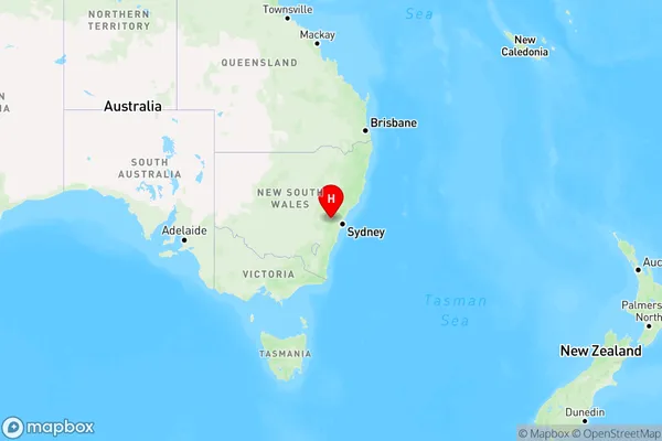
Blackheath, Blackheath - Megalong Valley, Blue Mountains, Sydney - Outer West and Blue Mountains, New South Wales, Australia, 2785
Blackheath Postcode
Area Name
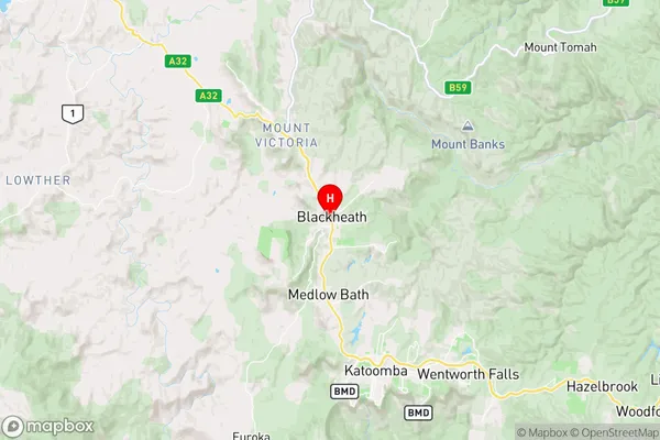
BlackheathBlackheath Suburb Area Map (Polygon)

Blackheath Introduction
Blackheath is a suburb in the City of Blue Mountains, located 86 kilometers west of Sydney's central business district. It is known for its scenic views, particularly of the Blue Mountains. The suburb has a population of around 5,000 people and is home to a number of historic buildings, including the Blackheath Masonic Lodge and the Blackheath Public School. It is also a popular destination for outdoor activities, such as hiking, cycling, and picnicking.State Name
City or Big Region
District or Regional Area
Suburb Name
Blackheath Region Map
Country
Main Region in AU
R3Coordinates
-33.635556,150.283611 (latitude/longitude)Blackheath Area Map (Street)
Longitude
150.181517Latitude
-33.707725Blackheath Elevation
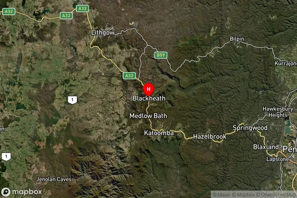
about 503.92 meters height above sea level (Altitude)Blackheath Suburb Map (Satellite)
Distances
The distance from Blackheath, Sydney - Outer West and Blue Mountains, NSW to AU Greater Capital CitiesSA1 Code 2011
12401144913SA1 Code 2016
12401144913SA2 Code
124011449SA3 Code
12401SA4 Code
124RA 2011
2RA 2016
2MMM 2015
3MMM 2019
3Charge Zone
N1LGA Region
Blue MountainsLGA Code
10900Electorate
Macquarie