Yellow Rock Area, Yellow Rock Postcode(2777) & Map in Yellow Rock, Sydney - Outer West and Blue Mountains, NSW
Yellow Rock Area, Yellow Rock Postcode(2777) & Map in Yellow Rock, Sydney - Outer West and Blue Mountains, NSW, AU, Postcode: 2777
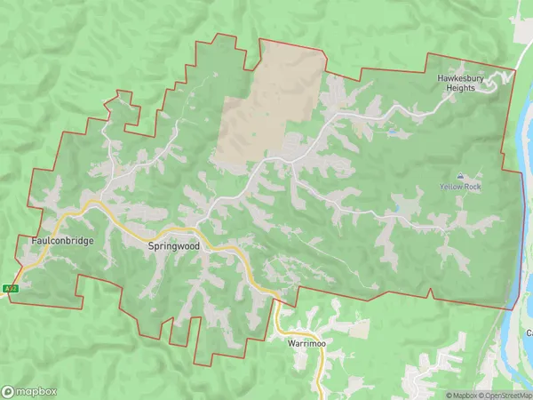
Yellow Rock, Springwood - Winmalee, Blue Mountains, Sydney - Outer West and Blue Mountains, New South Wales, Australia, 2777
Yellow Rock Postcode
Area Name
Yellow RockYellow Rock Suburb Area Map (Polygon)
Yellow Rock Introduction
Yellow Rock is a popular hiking destination located in the Blue Mountains, about 90 minutes west of Sydney. It offers stunning views of the Jamison Valley and is a great spot for picnics and outdoor activities. The trail to Yellow Rock is moderate and suitable for beginners, with a moderate ascent and a rocky terrain. It is important to wear appropriate footwear and bring plenty of water and sunscreen.State Name
City or Big Region
District or Regional Area
Suburb Name
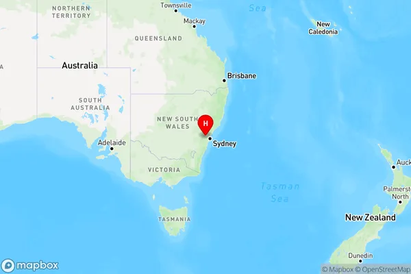
Yellow Rock Region Map
Country
Main Region in AU
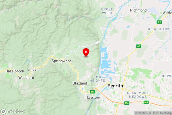
R3Coordinates
-33.695,150.624167 (latitude/longitude)Yellow Rock Area Map (Street)
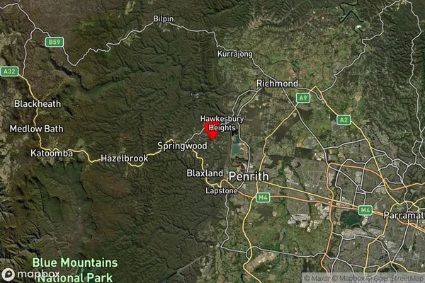
Longitude
150.587962Latitude
-33.692534Yellow Rock Suburb Map (Satellite)
Distances
The distance from Yellow Rock, Sydney - Outer West and Blue Mountains, NSW to AU Greater Capital CitiesSA1 Code 2011
12401145408SA1 Code 2016
12401145408SA2 Code
124011454SA3 Code
12401SA4 Code
124RA 2011
1RA 2016
1MMM 2015
1MMM 2019
1Charge Zone
N1LGA Region
PenrithLGA Code
16350Electorate
Macquarie