Hawkesbury Heights Area, Hawkesbury Heights Postcode(2777) & Map in Hawkesbury Heights, Sydney - Outer West and Blue Mountains, NSW
Hawkesbury Heights Area, Hawkesbury Heights Postcode(2777) & Map in Hawkesbury Heights, Sydney - Outer West and Blue Mountains, NSW, AU, Postcode: 2777
Hawkesbury Heights, Springwood - Winmalee, Blue Mountains, Sydney - Outer West and Blue Mountains, New South Wales, Australia, 2777
Hawkesbury Heights Postcode
Area Name
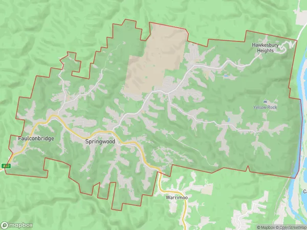
Hawkesbury HeightsHawkesbury Heights Suburb Area Map (Polygon)
Hawkesbury Heights Introduction
Hawkesbury Heights is a suburb in the local government area of the City of Hawkesbury, located in the Western Suburbs of Sydney, New South Wales, Australia. It is situated 37 kilometres west of the Sydney central business district and is part of the Greater Western Sydney region. Hawkesbury Heights is known for its scenic views, particularly of the Blue Mountains. It is home to a variety of residential properties, including detached houses, townhouses, and apartments. The suburb also has a number of parks and recreational facilities, including a golf course, cricket club, and tennis courts.State Name
City or Big Region
District or Regional Area
Suburb Name
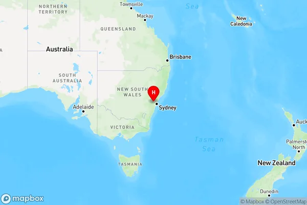
Hawkesbury Heights Region Map
Country
Main Region in AU
R3Coordinates
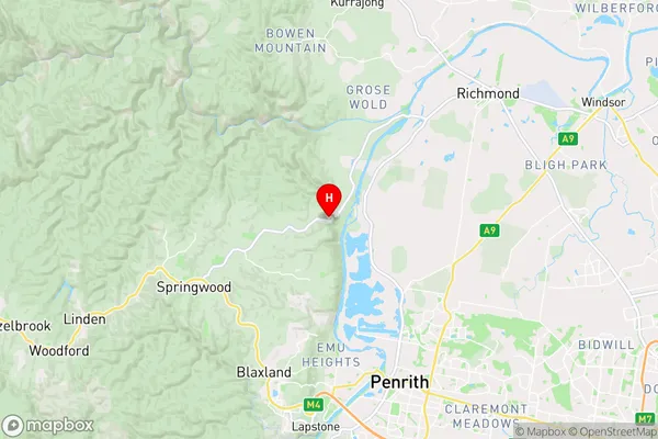
-33.666667,150.65 (latitude/longitude)Hawkesbury Heights Area Map (Street)
Longitude
150.587962Latitude
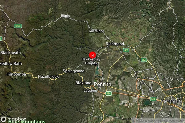
-33.692534Hawkesbury Heights Suburb Map (Satellite)
Distances
The distance from Hawkesbury Heights, Sydney - Outer West and Blue Mountains, NSW to AU Greater Capital CitiesSA1 Code 2011
12401145406SA1 Code 2016
12401145406SA2 Code
124011454SA3 Code
12401SA4 Code
124RA 2011
1RA 2016
1MMM 2015
1MMM 2019
1Charge Zone
N1LGA Region
PenrithLGA Code
16350Electorate
Macquarie